world.wikisort.org - Brazil
Sucuriju is a fishing village and district in the Brazilian municipality of Amapá, in the state of Amapá. The village is located on the Sucuriju River near the Atlantic Ocean.[2]
Sucuriju | |
|---|---|
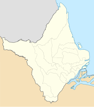 Sucuriju Location in Brazil  Sucuriju Sucuriju (Brazil) | |
| Coordinates: 1.6768°N 49.9348°W | |
| Country | |
| Region | North |
| State | Amapá |
| Municipality | Amapá |
| Population (2010)[1] | |
| • Total | 939 |
| Time zone | UTC−3 (BRT) |
History
Sucuriju is on the South American continent, however it is surrounded by the Lago Piratuba Biological Reserve which gives the village island characteristics.[3] The village started with a couple of factories used by the fishermen of the Bailique Archipelago. In the 1920s, residential houses were constructed around the factories.[4] Sucuriju consists of a hundred buildings on a bridge parallel to the river. It contains a school, a health post, a Catholic church and a Pentecostal church.[3]
The economy of Sucuriju is based on fishing. Both the nearby lakes and the Atlantic coast are being fished.[2] The village can only be accessed by boat and is located about 12 hours from Amapá.[3] In 1956, it became a district of Amapá.[5]
References
- Instituto Brasileiro de Geografia e Estatística (IBGE) (16 November 2011). "Sinopse por setores". Retrieved 1 April 2021.
- A.P. Santos Filho (2011). "Socioeconomic survey of fishermen the Sucuriju community, Amapá, Brazil". Boletim Técnico Científico do CEPNOR (in Portuguese). 11: 131. doi:10.17080/1676-5664/btcc.v11n1p129-141.
- Sautchuk 2006, p. 7.
- Sautchuk 2006, p. 10.
- "Legislação Informatizada - LEI Nº 3.055, DE 22 DE DEZEMBRO DE 1956 - Publicação Original". Chamber of Deputies (in Portuguese). Retrieved 1 April 2021.
Bibliography
- Sautchuk, Carlos (2006). "Esse rio nasceu da noite pro dia". A Vila de Sucuriju, comunidade pesqueira do litoral do Amapá (in Portuguese and Spanish). ACT Brasil.
This Amapá, Brazil location article is a stub. You can help Wikipedia by expanding it. |
Другой контент может иметь иную лицензию. Перед использованием материалов сайта WikiSort.org внимательно изучите правила лицензирования конкретных элементов наполнения сайта.
WikiSort.org - проект по пересортировке и дополнению контента Википедии