world.wikisort.org - Brazil
Mateiros is the easternmost city in the state of Tocantins. It is the only city in Tocantins to border the state of Piauí
Mateiros | |
|---|---|
Municipality | |
| The Municipality of Mateiros | |
| Nickname(s): "The Sun of Amazonia" ("O Sol da Amazônia") | |
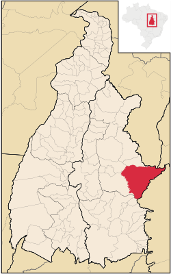 Location of Mateiros in the State of Tocantins | |
| Coordinates: 05°15′25″S 48°12′00″W | |
| Country | |
| Region | North |
| State | |
| Founded | January 1, 1992 |
| Area | |
| • Total | 9,591.543 km2 (3,703.315 sq mi) |
| Elevation | 493 m (1,617 ft) |
| Population (2020 [1]) | |
| • Total | 2,729 |
| • Density | 0.2/km2 (0.5/sq mi) |
| Time zone | UTC-3 (UTC-3) |
| • Summer (DST) | UTC-2 (UTC-2) |
| HDI (2000) | 0.584 – medium[2] |
The municipality is in the microregion of Jalapão.[3]
Conservation
The municipality contains part of the 707,079 hectares (1,747,230 acres) Serra Geral do Tocantins Ecological Station, a strictly protected conservation unit created in 2001 to preserve an area of cerrado.[4] It contains part of the 724,324 hectares (1,789,840 acres) Nascentes do Rio Parnaíba National Park, created in 2002.[5] It also contains the 158,885 hectares (392,610 acres) Jalapão State Park, a fully protected conservation unit created in 2001.[6]
References
- "IBGE 2020". Retrieved 26 January 2021.
- Archived 2009-10-03 at the Wayback Machine - UNDP
- "Como chegar/Mapa", Turismo Tocantins (in Portuguese), retrieved 2016-06-11
- Unidade de Conservação: Estação Ecológica Serra Geral do Tocantins (in Portuguese), MMA: Ministério do Meio Ambiente, retrieved 2016-05-28
- Unidade de Conservação: Parque Nacional das Nascentes do Rio Parnaíba (in Portuguese), MMA: Ministério do Meio Ambiente, retrieved 2016-05-01
- PES do Jalapão (in Portuguese), ISA: Instituto Socioambiental, retrieved 2016-06-11
This Tocantins, Brazil location article is a stub. You can help Wikipedia by expanding it. |
Текст в блоке "Читать" взят с сайта "Википедия" и доступен по лицензии Creative Commons Attribution-ShareAlike; в отдельных случаях могут действовать дополнительные условия.
Другой контент может иметь иную лицензию. Перед использованием материалов сайта WikiSort.org внимательно изучите правила лицензирования конкретных элементов наполнения сайта.
Другой контент может иметь иную лицензию. Перед использованием материалов сайта WikiSort.org внимательно изучите правила лицензирования конкретных элементов наполнения сайта.
2019-2026
WikiSort.org - проект по пересортировке и дополнению контента Википедии
WikiSort.org - проект по пересортировке и дополнению контента Википедии