world.wikisort.org - Brazil
Antonina is a municipality in the state of Paraná in southern Brazil. As of 2020, the estimated population was 18,949.
Antonina | |
|---|---|
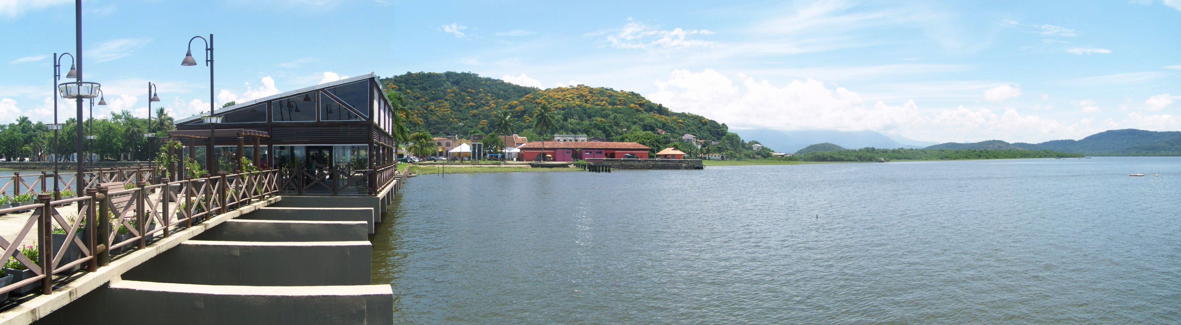
From top, left to right: Church of Our Lady of Pilar; XV de Novembro Street and Coronel Macedo Square in the historic center; view of the Bay of Antonina | |
 Flag  Seal | |
 Location of Antonina. | |
| Country | |
| State | Paraná |
| Area | |
| • Total | 845.853 km2 (326.586 sq mi) |
| Population (2020 [1]) | |
| • Total | 18,949 |
| Time zone | UTC−3 (BRT) |
| Website | http://www.e-prefeituras.pr.gov.br/sites/prefeitura/antonina/ |


Geography
Antonina has an area of 845.853 square kilometres (326.586 sq mi). It is located at 25°6′0″S 48°43′00″W. It is 80 km away from Curitiba.
The municipality contains 29% of the 2,699 hectares (6,670 acres) Roberto Ribas Lange State Park, created in 1994.[2] It contains part of the 4,334 hectares (10,710 acres) Pico Paraná State Park, created in 2002.[3] It also holds 30% of the 34,179 hectares (84,460 acres) Bom Jesus Biological Reserve, a strictly protected conservation unit established in 2012.[4]
History
The small town Antonina was former known as “Capela” – as a chapel has been built there in the 18th century. Due to this fact the inhabitants are called “capelistas” until today. The official name is in honor to King Antonio of Portugal.
Culture
Antonina hosts a July winter festival promoted by the Federal University of Paraná, which develops several workshops and shows during this time in the village. The carnival takes place within several blocks and features samba groups.
References
- IBGE 2020
- PES Roberto Ribas Lange (in Portuguese), ISA: Instituto Socioambiental, retrieved 2016-11-17
- Lerner, Jaime; Andreguetto, José Antonio; Campêlo, José Cid Filho (5 June 2002), Decreto 5769 - 05 de Junho de 2002 (in Portuguese), State of Paraná, retrieved 2016-11-19
- REBIO Bom Jesus (in Portuguese), ISA: Instituto Socioambiental, retrieved 2016-06-05
External links
На других языках
- [en] Antonina, Paraná
[ru] Антонина (Бразилия)
Антони́на (порт. Antonina) — муниципалитет в Бразилии, входит в штат Парана. Составная часть мезорегиона Агломерация Куритиба. Входит в экономико-статистический микрорегион Паранагуа. Население составляет 20 729 человек на 2006 год. Занимает площадь 882,316 км². Плотность населения — 23,5 чел./км².Другой контент может иметь иную лицензию. Перед использованием материалов сайта WikiSort.org внимательно изучите правила лицензирования конкретных элементов наполнения сайта.
WikiSort.org - проект по пересортировке и дополнению контента Википедии