world.wikisort.org - Bangladesh
Sonaimuri è un sottodistretto (upazila) del Bangladesh situato nel distretto di Noakhali, divisione di Chittagong. Si estende su una superficie di 169,14 km² e conta una popolazione di 327.000 abitanti (dato censimento 1991)[1].
| Sonaimuri upazila | |
|---|---|
| Localizzazione | |
| Stato | |
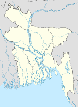
| Divisione | Chittagong |
| Distretto | Noakhali |
| Territorio | |
| Coordinate | 23°02′18″N 91°06′30″E |
| Superficie | 169,14 km² |
| Abitanti | 327 000[1] (1991) |
| Densità | 1 933,31 ab./km² |
| Altre informazioni | |
| Cod. postale | ৩৮২৭ |
| Fuso orario | UTC+6 |
| Cartografia | |
 Sonaimuri | |
| Sito istituzionale | |
Note
- (EN) Population Census of Bangladesh, su bangladeshgov.org, Bangladesh Bureau of Statistics. URL consultato il 28 dicembre 2016 (archiviato dall'url originale il 27 marzo 2005).
Collegamenti esterni
- Sito ufficiale, su sonaimuri.noakhali.gov.bd.
На других языках
[en] Sonaimuri Upazila
Sonaimuri (সোনাইমুড়ী) is a newly established upazila or sub-district in Noakhali District, Bangladesh.[1][2] It consists of ten union councils or parishads - Ambarnagar, Amisha Para, Bazra, Deoti, Jayag, Nadana, Nateshwar, Sonaimuri, Sonapur and Baragaon. Sonaimuri was declared as an upazila in response to a popular demand in 2005. The area of Sonaimuri is 169.14 km2 while its population is 327,194. People in this upazila is generally solvent and engaged in business and agriculture.- [it] Sonaimuri
Текст в блоке "Читать" взят с сайта "Википедия" и доступен по лицензии Creative Commons Attribution-ShareAlike; в отдельных случаях могут действовать дополнительные условия.
Другой контент может иметь иную лицензию. Перед использованием материалов сайта WikiSort.org внимательно изучите правила лицензирования конкретных элементов наполнения сайта.
Другой контент может иметь иную лицензию. Перед использованием материалов сайта WikiSort.org внимательно изучите правила лицензирования конкретных элементов наполнения сайта.
2019-2025
WikiSort.org - проект по пересортировке и дополнению контента Википедии
WikiSort.org - проект по пересортировке и дополнению контента Википедии