world.wikisort.org - Bangladesh
Kaptai è un sottodistretto (upazila) del Bangladesh situato nel distretto di Rangamati, divisione di Chittagong. Si estende su una superficie di 259,00 km² e conta una popolazione di 66.135 abitanti (dato censimento 1991)[1].
| Kaptai upazila | |
|---|---|
| Localizzazione | |
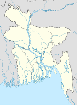
| Stato | |
| Divisione | Chittagong |
| Distretto | Rangamati |
| Territorio | |
| Coordinate | 22°30′00″N 92°13′00.12″E |
| Altitudine | 39 m s.l.m. |
| Superficie | 259,00 km² |
| Abitanti | 66 135[1] (1991) |
| Densità | 255,35 ab./km² |
| Altre informazioni | |
| Cod. postale | 4530 |
| Fuso orario | UTC+6 |
| Cartografia | |
 Kaptai | |
| Sito istituzionale | |
Note
- (EN) Population Census of Bangladesh, su bangladeshgov.org, Bangladesh Bureau of Statistics. URL consultato il 30 dicembre 2016 (archiviato dall'url originale il 27 marzo 2005).
Altri progetti
 Wikimedia Commons contiene immagini o altri file su Kaptai
Collegamenti esterni
- Sito ufficiale, su kaptai.rangamati.gov.bd.
На других языках
[en] Kaptai Upazila
Kaptai (Bengali: কাপ্তাই) is an Upazila of Rangamati District in the Division of Chittagong, Bangladesh.[1] Name of the Kaptai was derived from a Tripuri word "Kaptetoima".It is said that in the past days the reverine was so wild and full in tropical flora and fauna. Huge amount of several verities of canes used to be found throughout the course of the river that flows that from the south, upper tridge and the river makes its estuary into the Kainsa Khyong (Karnafuli river).- [it] Kaptai
Текст в блоке "Читать" взят с сайта "Википедия" и доступен по лицензии Creative Commons Attribution-ShareAlike; в отдельных случаях могут действовать дополнительные условия.
Другой контент может иметь иную лицензию. Перед использованием материалов сайта WikiSort.org внимательно изучите правила лицензирования конкретных элементов наполнения сайта.
Другой контент может иметь иную лицензию. Перед использованием материалов сайта WikiSort.org внимательно изучите правила лицензирования конкретных элементов наполнения сайта.
2019-2025
WikiSort.org - проект по пересортировке и дополнению контента Википедии
WikiSort.org - проект по пересортировке и дополнению контента Википедии