world.wikisort.org - Bangladesh
Savar (Bengali: সাভার) is a city in central Bangladesh, located in Dhaka District in the division of Dhaka. It is the closest city from Dhaka. It is also a part of Greater Dhaka conurbation which forms the Dhaka megacity. About 296,851 people live here which makes this city the 2nd largest in Dhaka District and 11th largest city in Bangladesh.[1]
This article needs additional citations for verification. (October 2019) |
Savar
সাভার | |
|---|---|
City | |
 National Martyrs' Memorial at Savar | |
 Savar Location in Bangladesh 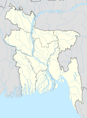 Savar Savar (Bangladesh) | |
| Coordinates: 23.44°N 90.11°E | |
| Country | |
| Division | Dhaka Division |
| District | Dhaka District |
| Upazila | Savar Upazila |
| Municipality | 7 Oct 2002 |
| Government | |
| • Type | Mayor–Council |
| • Body | Savar Municipality |
| • Paura Mayor | Hazi Abdul Gani |
| Area | |
| • Total | 14.08 km2 (5.44 sq mi) |
| Population (2011) | |
| • Total | 296,851[1] |
| • Rank | 11th[2] |
| Time zone | UTC+6 (Bangladesh Time) |
| Postal code | 1345 |
| National Dialing Code | +880 |
Geography
Savar city is located at 23.85°N 90.26°E in the Dhaka District of central region of Bangladesh.[3]
Demographics
According to 2011 Bangladesh census the total population of the city is 296,851 of which 132,692 are males and 124,062 are females with a density of 11,300 inhabitants per square kilometre (29,000/sq mi). The number of total household of the city is 60,290.[4]
Administration
Savar city is governed by a Paurashava named Savar municipality which consists of 9 wards and 56 mahallas, which occupies an area of 14.08 km2 (5.44 sq mi).[5]
See also
- National Martyrs' Memorial – National Mausoleum located in Savar
References
- "Population & Housing Census-2011" (PDF) (pdf). Bangladesh bureau of statistics. Retrieved 2019-10-08.
- "Population & Housing Census-2011: Urban Area Report" (PDF). Bangladesh Bureau of Statistics. p. 11. Retrieved 2019-10-07.
- "Population & Housing Census-2011" (PDF). Bangladesh Bureau of Statistics. Retrieved 2019-10-08.
- "Population & Housing Census-2011" (PDF). Bangladesh Bureau of Statistics. Retrieved 2019-10-08.
- "Population & Housing Census-2011" (PDF). Bangladesh Bureau of Statistics. Retrieved 2019-10-08.
На других языках
- [en] Savar
[ru] Савар (город)
Савар или Сабхар[2](бенг. সাভার, англ. Savar) — город в центральной части Бангладеш, административный центр одноимённого подокруга. Площадь города равна 24,1 км². По данным переписи 2001 года, в городе проживало 124 885 человек, из которых мужчины составляли 53,03 %, женщины — соответственно 46,97 %. Плотность населения равнялась 5182 чел. на 1 км².Другой контент может иметь иную лицензию. Перед использованием материалов сайта WikiSort.org внимательно изучите правила лицензирования конкретных элементов наполнения сайта.
WikiSort.org - проект по пересортировке и дополнению контента Википедии