world.wikisort.org - Bangladesh
Dingamanik is a village in Naria Upazila of Shariatpur District under Dhaka Division of southern-central Bangladesh.[1][2]
Dingamanik
ডিঙ্গামানিক ডিঙ্গামানিক | |
|---|---|
Village | |
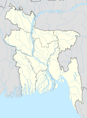 Dingamanik Location in Bangladesh | |
| Coordinates: 23°09′N 90°27′E | |
| Country | |
| Division | Dhaka Division |
| District | Shariatpur District |
| Upazila | Naria Upazila |
| Time zone | UTC+6 (Bangladesh Time) |
Geography
The village is situated in the bank of a small river branch of Padma River. It is the eastern border for Naria Upazila.
Religious importance
The village is home to Sri Satyanarayan Seva Mandir, a hermitage established in 1943 to mark the birthplace of the Hindu sage Ram Thakur.[3]
Transportation
Local village roads and the side by river branch is the only route for the transportation. Using waterway pilgrims either travels 5.5 kilometres (3.4 mi) to north towards Padma River or travels 8.6 kilometres (5.3 mi) to south for Bhedarganj Upazila.
References
- Parisaṃkhyāna Byuro (2005). Bangladesh Population Census, 2001: Barisal. Bangladesh Bureau of Statistics, Planning Division, Ministry of Planning, Govt. of the People's Republic of Bangladesh. Retrieved 18 January 2011.
- Geographic Names, National Geospatial-Intelligence Agency, accessed 18 January 2011
- "Sri Sri Satyanarayan Seva Mandir, Dingamanik, Bangladesh". srisriramthakur.org. Archived from the original on 15 April 2013. Retrieved 22 August 2012.
Текст в блоке "Читать" взят с сайта "Википедия" и доступен по лицензии Creative Commons Attribution-ShareAlike; в отдельных случаях могут действовать дополнительные условия.
Другой контент может иметь иную лицензию. Перед использованием материалов сайта WikiSort.org внимательно изучите правила лицензирования конкретных элементов наполнения сайта.
Другой контент может иметь иную лицензию. Перед использованием материалов сайта WikiSort.org внимательно изучите правила лицензирования конкретных элементов наполнения сайта.
2019-2025
WikiSort.org - проект по пересортировке и дополнению контента Википедии
WikiSort.org - проект по пересортировке и дополнению контента Википедии