world.wikisort.org - Australia
Yallah is a western suburb in the City of Wollongong, New South Wales, Australia, located on the western shore of Lake Illawarra. It contains a mixture of rural, commercial and light industrial areas.
| Yallah Wollongong, New South Wales | |||||||||||||||
|---|---|---|---|---|---|---|---|---|---|---|---|---|---|---|---|
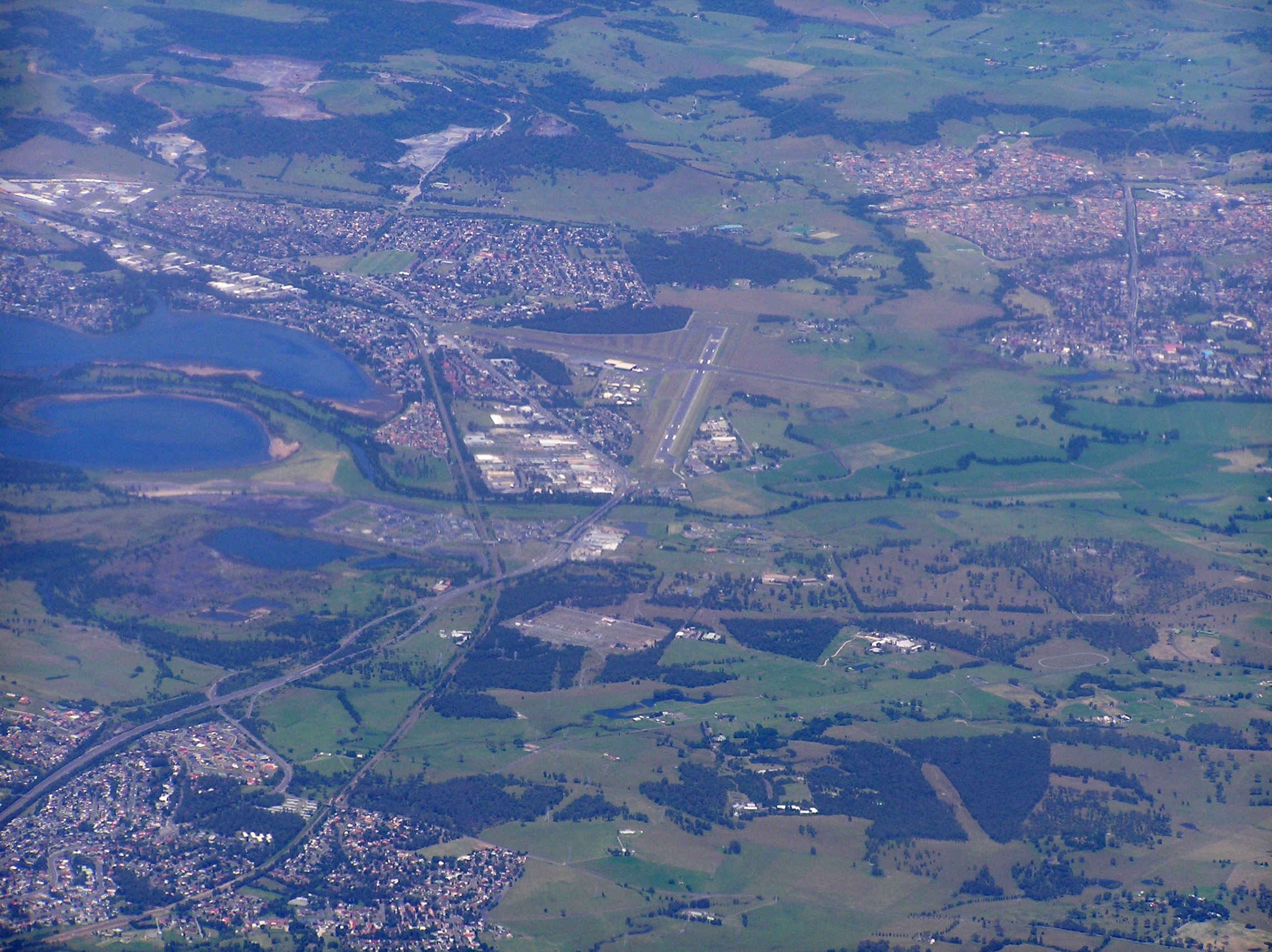 An aerial view of the area looking south, with Yallah, bottom left; Albion Park Rail, top left; Albion Park, top right; and Lake Illawarra, centre-left. | |||||||||||||||
Yallah | |||||||||||||||
| Coordinates | 34°32′S 150°48′E | ||||||||||||||
| Population | 138 (2016 census)[1] | ||||||||||||||
| Postcode(s) | 2530 | ||||||||||||||
| LGA(s) | Wollongong | ||||||||||||||
| Region | Illawarra | ||||||||||||||
| County | Camden | ||||||||||||||
| Parish | Calderwood | ||||||||||||||
| State electorate(s) | Shellharbour | ||||||||||||||
| Federal division(s) | Whitlam | ||||||||||||||
| |||||||||||||||
Etymology
Yallah is an Australian Aboriginal word for which a number of meanings are given; native apple tree; a nearby lagoon; and "go away at once".[2]
Developments

The Tallawarra Power Station on the shores of Lake Illawarra and adjacent to Yallah was commissioned in 1952 and commenced operations in 1954 as a thermal power station. The station closed in 1989 and was reconditioned as a 435-megawatt (583,000 hp) combined cycle natural gas power station.[2]
The Yallah railway station opened in 1887,[2] and closed in 1974.[3]
The Princes Motorway southern terminus is located south of Yallah and north of Albion Park Rail, at the junction of the Princes Highway with the Illawarra Highway.
See also
- Illawarra
References
- Australian Bureau of Statistics (27 June 2017). "Yallah". 2016 Census QuickStats. Retrieved 14 July 2017.
- "Online resources: Suburb Profiles". City of Wollongong. 19 October 2012. Retrieved 10 October 2016.
- "Yallah Station". www.nswrail.net. Retrieved 7 February 2016.
This Wollongong geography article is a stub. You can help Wikipedia by expanding it. |
Другой контент может иметь иную лицензию. Перед использованием материалов сайта WikiSort.org внимательно изучите правила лицензирования конкретных элементов наполнения сайта.
WikiSort.org - проект по пересортировке и дополнению контента Википедии