world.wikisort.org - Australia
Witta is a rural town and locality in the Sunshine Coast Region, Queensland, Australia.[2][3] In the 2016 census, Witta had a population of 1,201 people.[1]
| Witta Queensland | |||||||||||||||
|---|---|---|---|---|---|---|---|---|---|---|---|---|---|---|---|
 Witta | |||||||||||||||
| Coordinates | 26.6975°S 152.8119°E | ||||||||||||||
| Population | 1,201 (2016 census)[1] | ||||||||||||||
| • Density | 34.02/km2 (88.12/sq mi) | ||||||||||||||
| Postcode(s) | 4552 | ||||||||||||||
| Area | 35.3 km2 (13.6 sq mi) | ||||||||||||||
| Time zone | AEST (UTC+10:00) | ||||||||||||||
| Location |
| ||||||||||||||
| LGA(s) | Sunshine Coast Region | ||||||||||||||
| State electorate(s) | Glass House | ||||||||||||||
| Federal division(s) | Fisher | ||||||||||||||
| |||||||||||||||
History


Witta was first settled around 1887 by German immigrant families. They called it Teutoberg (also spelled Teutoburg), possibly referring to the Teutoburg Forest area in Germany.[4] The town was renamed in 1916 during World War 1 due to anti-German sentiment.[5] The name Witta is a corruption of the word wetya meaning dingo in the Kabi language.[2][3]
Maleny Provisional School opened on 1 October 1892 with the first enrolments on 3 October 1892. It was renamed Teutoberg Provisional School in 1893. It became Teutoberg State School in 1909, and Witta State School in 1926. The school closed on 23 August 1974.[6][7]
A reserve for a School of Arts (often known as Mechanics' institutes outside Queensland) was gazetted in 1907.[8] The School of Arts was opened on 7 October 1908 by Harry Frederick Walker, Member of the Queensland Legislative Assembly for Wide Bay.[9]
In the 2011 census, Witta had a population of 1,230 people.[10]
In the 2016 census, Witta had a population of 1,201 people.[1]
Geography
Witta is located within the Blackall Ranges. The lower land is mostly cleared for residential and farming purposes. The higher land is largely undeveloped natural bushland.[11]
Amenities


There is a small cemetery on Witta Road (26.7062°S 152.8268°E).[11]
Attractions
Obi Lookout is on Schultz Road (26.6880°S 152.8047°E).[12]
Notable residents
- Otto Nothling, born in Witta, represented Australia in cricket and rugby union
See also
- Mechanics' institutes of Australia
References
- Australian Bureau of Statistics (27 June 2017). "Witta (SSC)". 2016 Census QuickStats. Retrieved 20 October 2018.
- "Witta – town in Sunshine Coast Region (entry 37782)". Queensland Place Names. Queensland Government. Retrieved 1 December 2019.
- "Witta – locality in Sunshine Coast Region (entry 50050)". Queensland Place Names. Queensland Government. Retrieved 1 December 2019.
- "Witta". Queensland Places. Centre for the Government of Queensland, University of Queensland. Retrieved 10 August 2015.
- "TOWN OF TEUTOBERG". The Telegraph (SECOND EDITION ed.). Brisbane. 18 May 1916. p. 2. Retrieved 10 August 2015 – via National Library of Australia.
- "Opening and closing dates of Queensland Schools". Queensland Government. Retrieved 20 January 2020.
- "Agency ID 6545, Witta State School". Queensland State Archives. Retrieved 10 August 2015.
- "RURAL INTERESTS". The Brisbane Courier. 1 March 1907. p. 7. Retrieved 10 August 2015 – via National Library of Australia.
- "Maleny". Chronicle and North Coast Advertiser. Qld. 17 October 1908. p. 3. Retrieved 10 August 2015 – via National Library of Australia.
- Australian Bureau of Statistics (31 October 2012). "Witta". 2011 Census QuickStats. Retrieved 10 August 2015.
- "Queensland Globe". State of Queensland. Retrieved 10 August 2015.
- "Tourist points - Queensland". Queensland Open Data. Queensland Government. 18 November 2020. Archived from the original on 24 November 2020. Retrieved 24 November 2020.
Further reading
- Maleny schools' centenary celebration : 100 years of education, 1913-2013, Maleny P&C, 2013 — includes Witta State School
External links
- "Witta". Queensland Places. Centre for the Government of Queensland, University of Queensland.
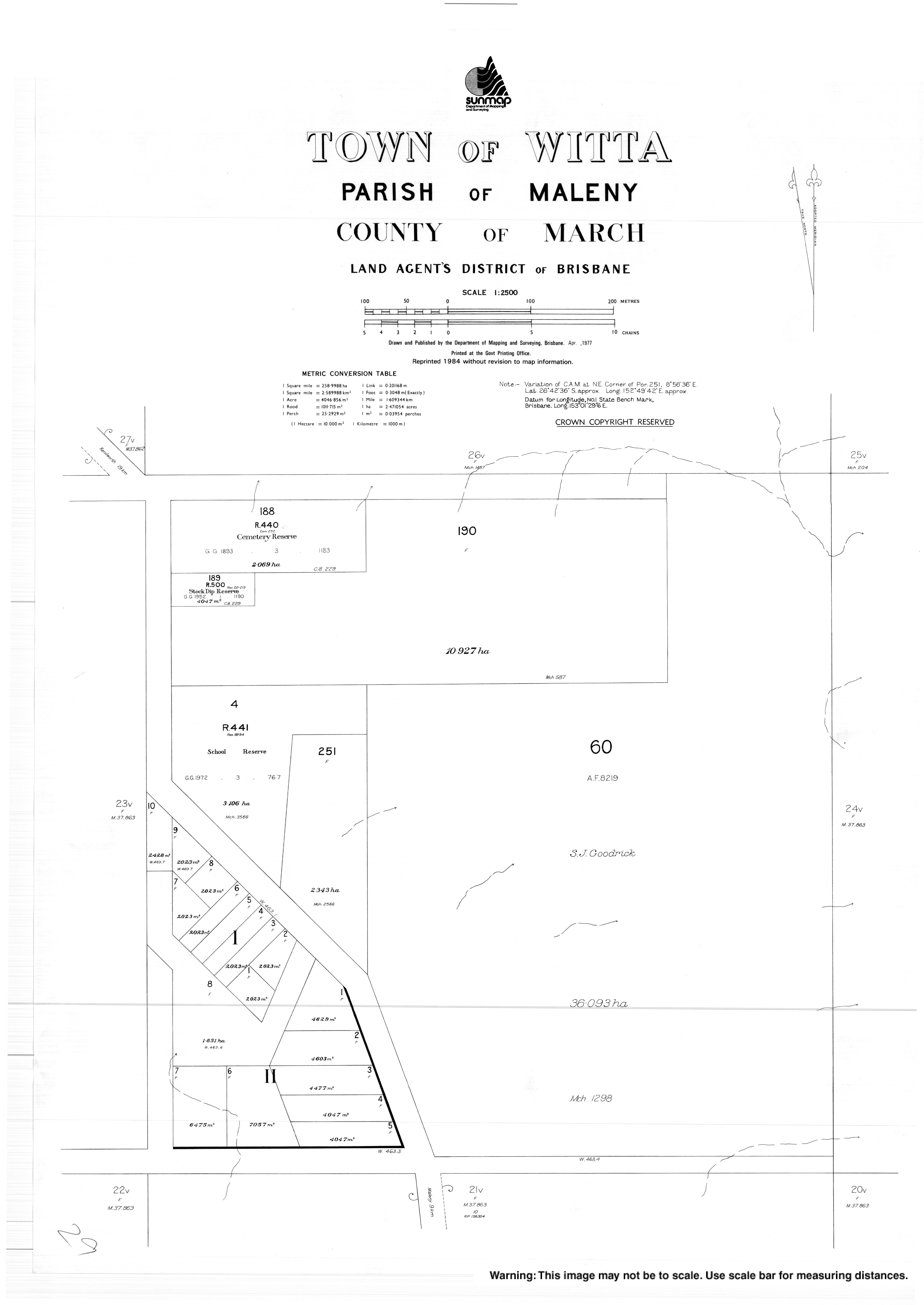
- "Town map of Witta". Queensland Government. 1977.
Другой контент может иметь иную лицензию. Перед использованием материалов сайта WikiSort.org внимательно изучите правила лицензирования конкретных элементов наполнения сайта.
WikiSort.org - проект по пересортировке и дополнению контента Википедии