world.wikisort.org - Australia
Promised Land is a rural locality in the local government area (LGA) of Kentish in the North-west and west LGA region of Tasmania. The locality is about 13 kilometres (8.1 mi) south-west of the town of Sheffield. The 2016 census has a population of 44 for the state suburb of Promised Land.[1]
| Promised Land Tasmania | |||||||||||||||
|---|---|---|---|---|---|---|---|---|---|---|---|---|---|---|---|
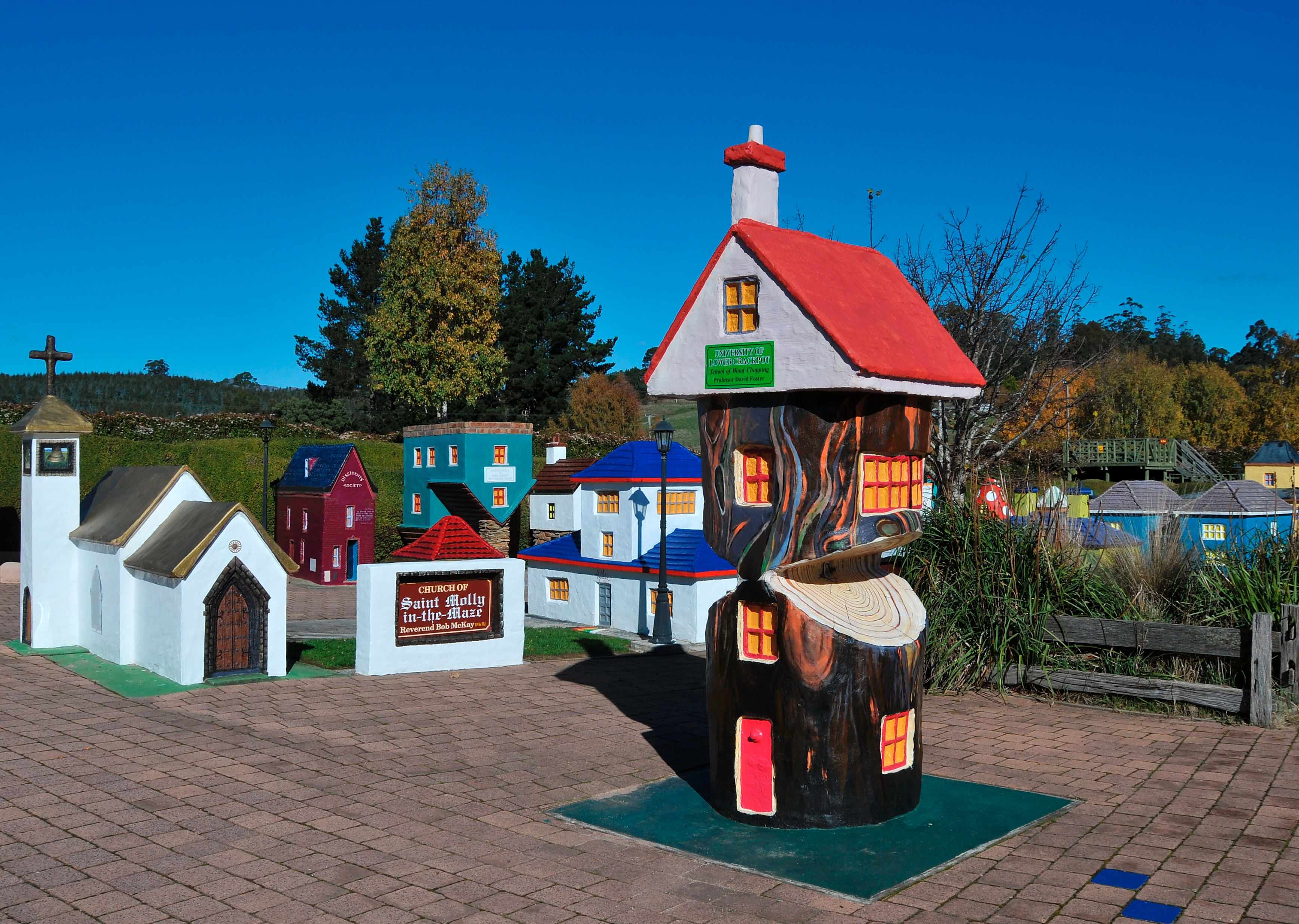 Lower crackpot, 7308 at Promised Land, Tasmania | |||||||||||||||
 Promised Land | |||||||||||||||
| Coordinates | 41°23′S 146°20′E | ||||||||||||||
| Population | 44 (2016 census)[1] | ||||||||||||||
| Established | 1859 | ||||||||||||||
| Elevation | 280 m (919 ft)[2] | ||||||||||||||
| Location |
| ||||||||||||||
| LGA(s) | Kentish Council | ||||||||||||||
| Region | North-west and west | ||||||||||||||
| State electorate(s) | Lyons | ||||||||||||||
| Federal division(s) | Lyons | ||||||||||||||
| |||||||||||||||
| |||||||||||||||
History
Promised Land was gazetted as a locality in 1957.[3]
Geography

The waters of Lake Barrington form the western boundary.[4]
Road infrastructure
Route C140 (Staverton Road) passes through from north-east to south.[3][5]
References
- "2016 Census Quick Stats Promised Land (Tas.)". quickstats.censusdata.abs.gov.au. Australian Bureau of Statistics. 23 October 2017. Retrieved 13 September 2020.
- Bureau of Meteorology Retrieved on 2007-11-14.
- "Placenames Tasmania – Promised Land". Placenames Tasmania. Select “Search”, enter "2705G", click “Search”, select row, map is displayed, click “Details”. Retrieved 13 September 2020.
- Google (13 September 2020). "Promised Land, Tasmania" (Map). Google Maps. Google. Retrieved 13 September 2020.
- "Tasmanian Road Route Codes" (PDF). Department of Primary Industries, Parks, Water & Environment. May 2017. Archived from the original (PDF) on 1 August 2017. Retrieved 13 September 2020.
This Kentish Council geography article is a stub. You can help Wikipedia by expanding it. |
Текст в блоке "Читать" взят с сайта "Википедия" и доступен по лицензии Creative Commons Attribution-ShareAlike; в отдельных случаях могут действовать дополнительные условия.
Другой контент может иметь иную лицензию. Перед использованием материалов сайта WikiSort.org внимательно изучите правила лицензирования конкретных элементов наполнения сайта.
Другой контент может иметь иную лицензию. Перед использованием материалов сайта WikiSort.org внимательно изучите правила лицензирования конкретных элементов наполнения сайта.
2019-2026
WikiSort.org - проект по пересортировке и дополнению контента Википедии
WikiSort.org - проект по пересортировке и дополнению контента Википедии