world.wikisort.org - Australia
Preston is a rural locality in the Whitsunday Region, Queensland, Australia.[2] In the 2016 census, Preston had a population of 296 people.[1] The town of Bonavista is within the south of the locality (20.382°S 148.651°E).[3]
| Preston Queensland | |||||||||||||||
|---|---|---|---|---|---|---|---|---|---|---|---|---|---|---|---|
 Preston | |||||||||||||||
| Coordinates | 20.3869°S 148.6569°E | ||||||||||||||
| Population | 296 (2016 census)[1] | ||||||||||||||
| • Density | 6.932/km2 (17.95/sq mi) | ||||||||||||||
| Postcode(s) | 4800 | ||||||||||||||
| Area | 42.7 km2 (16.5 sq mi) | ||||||||||||||
| Time zone | AEST (UTC+10:00) | ||||||||||||||
| LGA(s) | Whitsunday Region | ||||||||||||||
| State electorate(s) | Whitsunday | ||||||||||||||
| Federal division(s) | Dawson | ||||||||||||||
| |||||||||||||||
History
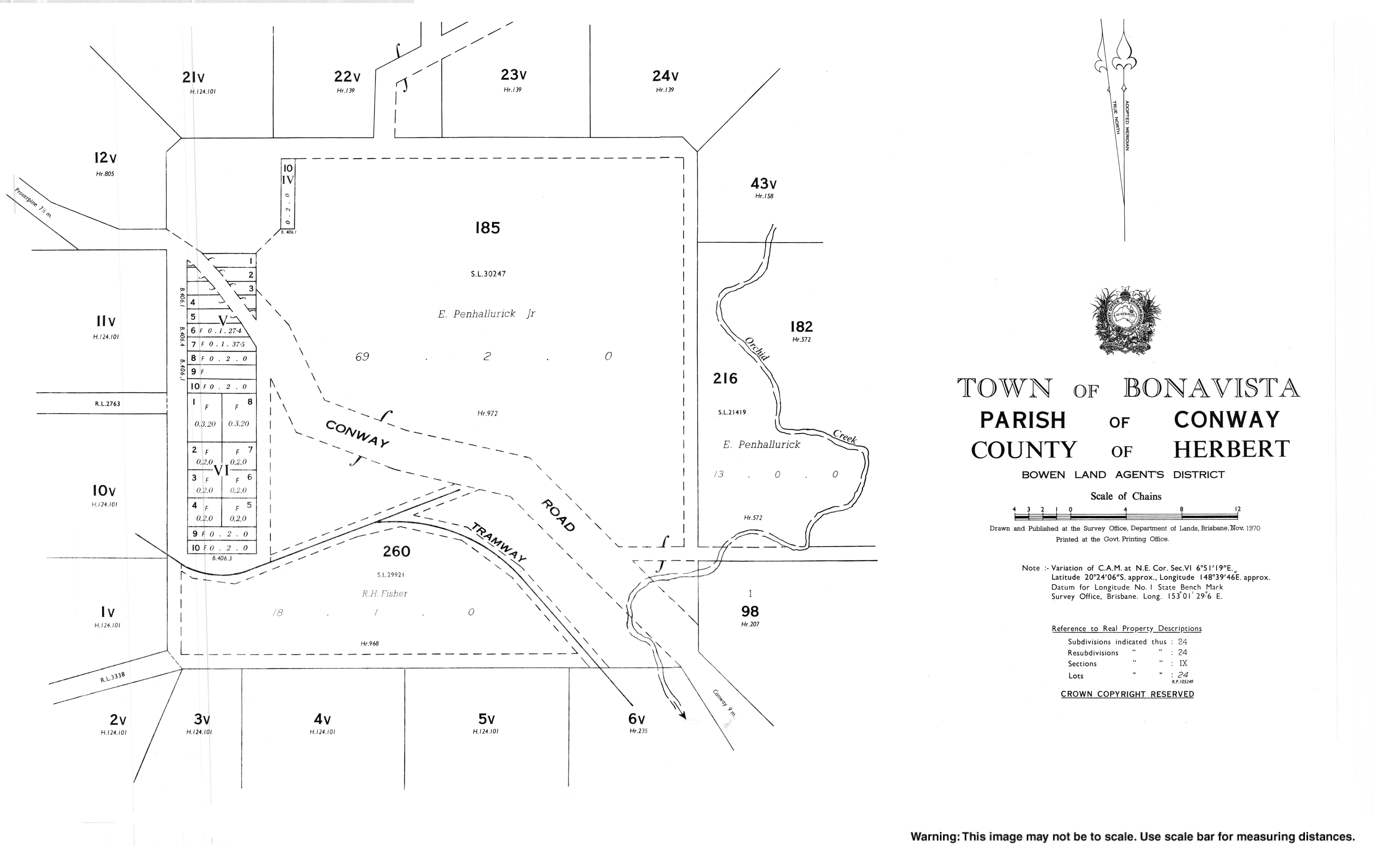
The town of Bonavista was originally called Conway, which was derived from Cape Conway, which was named on 3 June 1770 by Lieutenant James Cook, commander of HMS Endeavour, after British Secretary of State for the Southern Department, Henry Seymour Conway. The town was renamed Bonavista from 3 January 1961.[3] However, the road to the town is still called Conway Road.[4]
References
- Australian Bureau of Statistics (27 June 2017). "Preston (SSC)". 2016 Census QuickStats. Retrieved 20 October 2018.
- "Preston – locality in Whitsunday Region (entry 46894)". Queensland Place Names. Queensland Government. Retrieved 26 October 2019.
- "Bonavista – populated place in the Whitsunday Region (entry 3531)". Queensland Place Names. Queensland Government. Retrieved 29 October 2019.
- "Queensland Globe". State of Queensland. Retrieved 28 October 2019.
External links
Текст в блоке "Читать" взят с сайта "Википедия" и доступен по лицензии Creative Commons Attribution-ShareAlike; в отдельных случаях могут действовать дополнительные условия.
Другой контент может иметь иную лицензию. Перед использованием материалов сайта WikiSort.org внимательно изучите правила лицензирования конкретных элементов наполнения сайта.
Другой контент может иметь иную лицензию. Перед использованием материалов сайта WikiSort.org внимательно изучите правила лицензирования конкретных элементов наполнения сайта.
2019-2025
WikiSort.org - проект по пересортировке и дополнению контента Википедии
WikiSort.org - проект по пересортировке и дополнению контента Википедии