world.wikisort.org - Australia
Dubbo Parish (Gordon County), is a civil parish of Gordon County, New South Wales.[4] a Cadastral divisions of New South Wales.[5]
| Dubbo Parish New South Wales | |||||||||
|---|---|---|---|---|---|---|---|---|---|
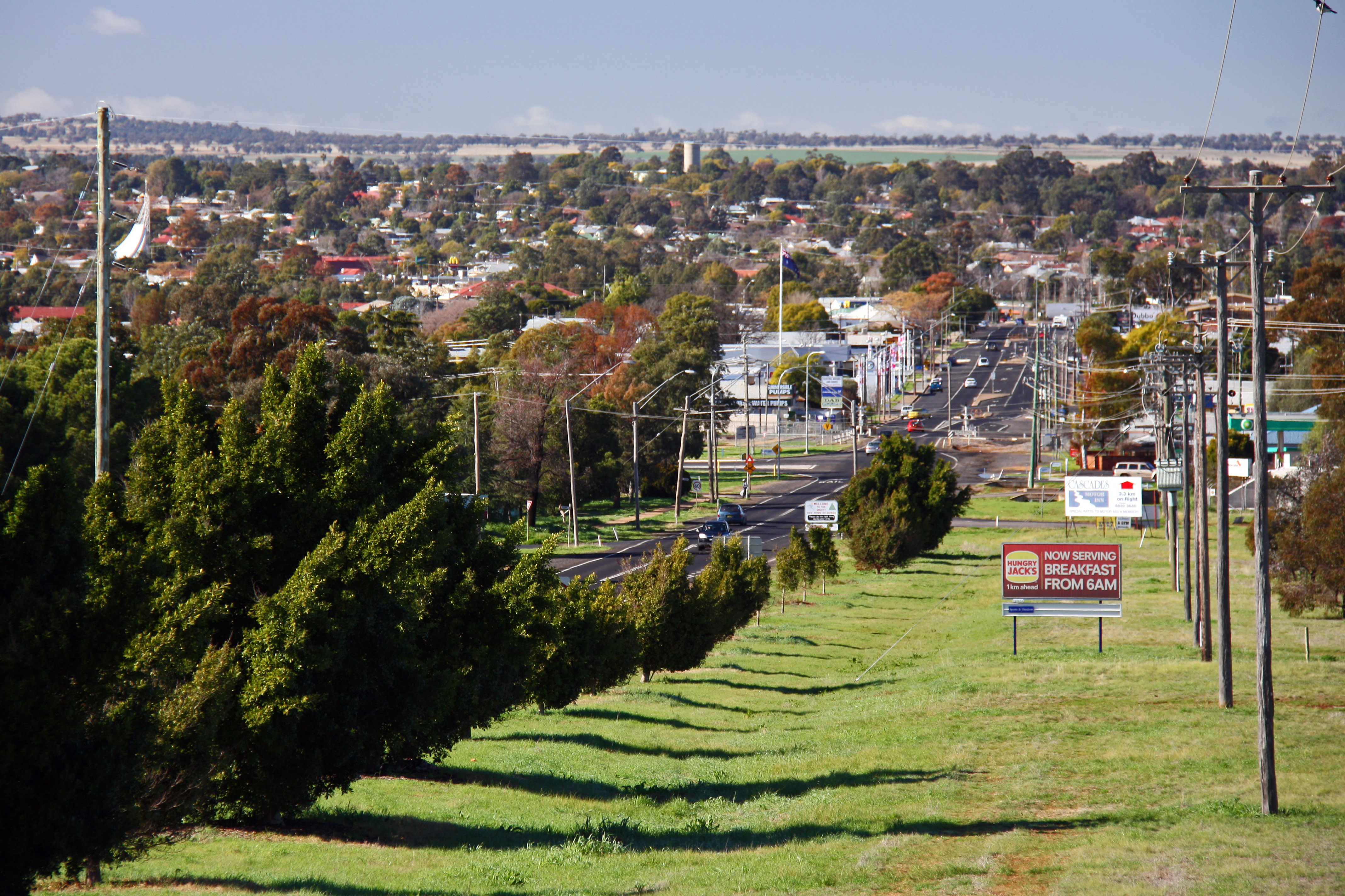 Overlooking Dubbo from the parish | |||||||||
Dubbo Parish | |||||||||
| Coordinates | 32°15′25″S 148°36′4″E | ||||||||
| Postcode(s) | 2830 | ||||||||
| Elevation | 275 m (902 ft)[1][2] | ||||||||
| Time zone | AEST (UTC+10) | ||||||||
| • Summer (DST) | AEDT (UTC+11) | ||||||||
| Location | 400 km (249 mi) NW of Sydney[3] | ||||||||
| LGA(s) | Dubbo Regional Council | ||||||||
| Region | Central West / Orana | ||||||||
| County | Gordon | ||||||||
| State electorate(s) | Dubbo | ||||||||
| Federal division(s) | Parkes | ||||||||
| |||||||||
The parish, located in Dubbo Regional Council, features the township of West Dubbo, Taronga Western Plains Zoo and Dubbo Observatory. The Burke Railway line passes through the parish. During World War II an airbase was established in the parish.
References
- DCC Annual Report, Dubbo City Council, 2005|accessdate=30
- 2., 28 September 2007 (refer page 7)
- Dubbo Parish lies at a bearing of 307° from Sydney
- Robert McLean, The New atlas of Australia : the complete work containing over one hundred maps and full descriptive geography of New South Wales, Victoria, Queensland, South Australia and Western Australia, together with numerous illustrations and copious indices (Sydney :J. Sands, [1886) Map 141.
- "Gordon County". Geographical Names Register (GNR) of NSW. Geographical Names Board of New South Wales.
This New South Wales geography article is a stub. You can help Wikipedia by expanding it. |
Текст в блоке "Читать" взят с сайта "Википедия" и доступен по лицензии Creative Commons Attribution-ShareAlike; в отдельных случаях могут действовать дополнительные условия.
Другой контент может иметь иную лицензию. Перед использованием материалов сайта WikiSort.org внимательно изучите правила лицензирования конкретных элементов наполнения сайта.
Другой контент может иметь иную лицензию. Перед использованием материалов сайта WikiSort.org внимательно изучите правила лицензирования конкретных элементов наполнения сайта.
2019-2025
WikiSort.org - проект по пересортировке и дополнению контента Википедии
WikiSort.org - проект по пересортировке и дополнению контента Википедии