world.wikisort.org - Australia
Guluguba is a rural town and locality in the Western Downs Region, Queensland, Australia.[2][3] In the 2016 census the locality of Guluguba had a population of 109 people.[1]
| Guluguba Queensland | |||||||||||||||
|---|---|---|---|---|---|---|---|---|---|---|---|---|---|---|---|
 Cafe at Guluguba on the Leichhardt Highway, 2014 | |||||||||||||||
 Guluguba | |||||||||||||||
| Coordinates | 26.2569°S 150.0444°E | ||||||||||||||
| Population | 109 (2016 census locality)[1] | ||||||||||||||
| • Density | 0.2812/km2 (0.728/sq mi) | ||||||||||||||
| Postcode(s) | 4418 | ||||||||||||||
| Area | 387.6 km2 (149.7 sq mi) | ||||||||||||||
| Time zone | AEST (UTC+10:00) | ||||||||||||||
| Location |
| ||||||||||||||
| LGA(s) | Western Downs Region | ||||||||||||||
| State electorate(s) | Callide | ||||||||||||||
| Federal division(s) | Maranoa | ||||||||||||||
| |||||||||||||||
Geography
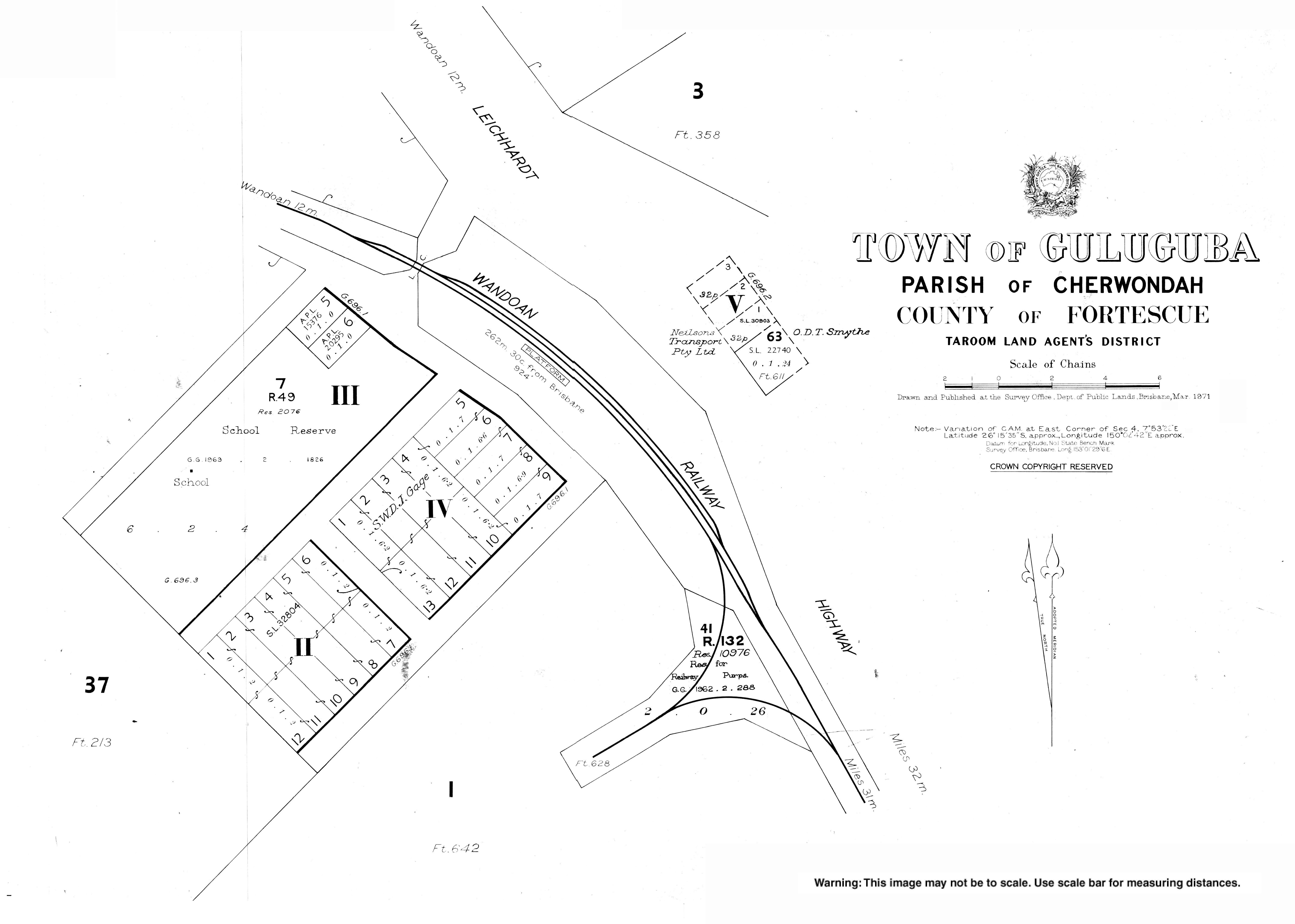
Guluguba is located on the Leichhardt Highway, north of Miles and south of Wandoan.[4]
The now-closed Wandoan railway line traversed the locality with the town being served by the Guluguba railway station (26.2567°S 150.0451°E) with the Giligulgul railway station (26.3532°S 150.0496°E) at the south of the locality.[5]
History
The name Guluguba is thought to be an Aboriginal word meaning squatter pigeon.[2][3]
Guluguba Post Office opened by 1916 (a receiving office had been open from 1915).[6]
Guluguba Provisional School opened on 1 February 1917 on a half-time basis (meaning shared a single teacher) with Downfall Creek Provisional School which opened in March 1917. When the Downfall Creek school closed in 1918, Guluguba became a full-time school.[7]
In 1940 at Downfall Creek, the local Lutheran community established a Lutheran Day School. Meanwhile, Guluguba State School had two temporary closures in 1942 and 1944 due to a lack of teacher accommodation.[7]
In 1957, the Queensland Education Department was willing to provide a teacher to Downfall Creek so the Lutheran Church school became Downfall Creek Provisional School once again. It finally closed in 1962.[7]
In the 2011 census, Guluguba was counted together with neighbouring Wandoan and had a combined population of 655.[8]
In the 2016 census the locality of Guluguba had a population of 109 people.[1]
Education
Guluguba State School is a government co-educational primary school (P-6) at Fosters Road. In 2016, the school had an enrolment of 6 students with 2 teachers (1 full-time equivalent) and 4 non-teaching staff (2 equivalent full-time).[9]
Amenities
St John's Lutheran Church (also known as the Downfall Creek Lutheran Church) is at 654 Upper Downfall Creek Road (26.2555°S 150.1494°E).[10]
Notable people
- Deb Frecklington, a former leader of the Queensland parliamentary wing of the Liberal National Party, attended Guluguba State School [11]
References
- Australian Bureau of Statistics (27 June 2017). "Guluguba (SSC)". 2016 Census QuickStats. Retrieved 20 October 2018.
- "Guluguba – town in Western Downs Region (entry 14951)". Queensland Place Names. Queensland Government. Retrieved 29 December 2020.
- "Guluguba – locality in Western Downs Region (entry 47706)". Queensland Place Names. Queensland Government. Retrieved 29 December 2020.
- "Queensland Globe". State of Queensland. Retrieved 16 September 2017.
- "Railway stations and sidings - Queensland". Queensland Open Data. Queensland Government. 2 October 2020. Archived from the original on 5 October 2020. Retrieved 5 October 2020.
- Premier Postal History. "Post Office List". Premier Postal Auctions. Archived from the original on 15 May 2014. Retrieved 10 May 2014.
- Queensland Family History Society (2010), Queensland schools past and present (Version 1.01 ed.), Queensland Family History Society, ISBN 978-1-921171-26-0
- Australian Bureau of Statistics (31 October 2012). "Wandoan (SSC)". 2011 Census QuickStats. Retrieved 28 April 2014.
- "Annual Report 2016" (PDF). Guluguba State School. Archived (PDF) from the original on 16 September 2017. Retrieved 16 September 2017.
- "Downfall Creek Lutheran Church". South Western Queensland Lutheran Parish. Archived from the original on 29 November 2020. Retrieved 27 February 2021.
- "Meet Deb". Deb Frecklington MP. Archived from the original on 30 November 2017. Retrieved 29 November 2017.
Further reading
- Bahnisch, Lyn; Stiller, Doris; Guluguba State School. Anniversary Committee (1992), Schools beside the track : 1917-1992 : celebrating the 75th anniversary of Guluguba State School : a history of Guluguba, Gurulmundi, Giligulgul and Downfall Creek Schools, Guluguba State School Anniversary Committee, ISBN 978-0-646-11955-7
- Partlett, Launa (1986), Guluguba pioneers : stories from a Queensland rural community, ISBN 978-0-9588195-0-3
- Stiller, Colin (2012), Those were the days, C. H. Stiller, ISBN 978-0-646-57299-4
External links
| Wikimedia Commons has media related to Guluguba, Queensland. |
- "Town map of Guluguba". Queensland Government. 1971.
| Authority control |
|
|---|
Другой контент может иметь иную лицензию. Перед использованием материалов сайта WikiSort.org внимательно изучите правила лицензирования конкретных элементов наполнения сайта.
WikiSort.org - проект по пересортировке и дополнению контента Википедии