world.wikisort.org - Australia
Glastonbury is a rural town and locality in the Gympie Region, Queensland, Australia.[2][3] In the 2016 census, the locality of Glastonbury had a population of 351 people.[1]
| Glastonbury Queensland | |||||||||||||||
|---|---|---|---|---|---|---|---|---|---|---|---|---|---|---|---|
 Glastonbury | |||||||||||||||
| Coordinates | 26.2130°S 152.5197°E | ||||||||||||||
| Population | 351 (2016 census)[1] | ||||||||||||||
| • Density | 4.769/km2 (12.352/sq mi) | ||||||||||||||
| Postcode(s) | 4570 | ||||||||||||||
| Area | 73.6 km2 (28.4 sq mi) | ||||||||||||||
| Time zone | AEST (UTC+10:00) | ||||||||||||||
| Location |
| ||||||||||||||
| LGA(s) | Gympie Region | ||||||||||||||
| State electorate(s) | Gympie | ||||||||||||||
| Federal division(s) | Wide Bay | ||||||||||||||
| |||||||||||||||
Geography
Greendale is a neighbourhood in the north of the locality (26.1833°S 152.5333°E).[4]
History
Glastonbury Provisional School opened on 16 August 1879. On 1 January 1909, it became Glastonbury State School. It closed on 6 June 1960. It was also known as Glastonbury Creek State School.[5]
Greendale Provisional School opened on 21 October 1930 and closed in 1941. It reopened in 1947 and in 1948 became Greendale State School. It closed on 5 June 1960.[5]
In the 2016 census, the locality of Glastonbury had a population of 351 people.[1]
Heritage listings
Glastonbury has the following heritage sites:
- 1329 Glastonbury Road: Glastonbury Hall[6]
References
- Australian Bureau of Statistics (27 June 2017). "Glastonbury (SSC)". 2016 Census QuickStats. Retrieved 20 October 2018.
- "Glastonbury – town in Gympie Region (entry 13893)". Queensland Place Names. Queensland Government. Retrieved 27 December 2020.
- "Glastonbury – locality in Gympie Region (entry 46331)". Queensland Place Names. Queensland Government. Retrieved 27 December 2020.
- "Greendale – locality unbounded in Gympie Regional (entry 14769)". Queensland Place Names. Queensland Government. Retrieved 27 December 2020.
- Queensland Family History Society (2010), Queensland schools past and present (Version 1.01 ed.), Queensland Family History Society, ISBN 978-1-921171-26-0
- "Glastonbury Hall" (PDF). Local Heritage Register. Gympie Regional Council. Archived (PDF) from the original on 17 January 2021. Retrieved 17 January 2021.
External links
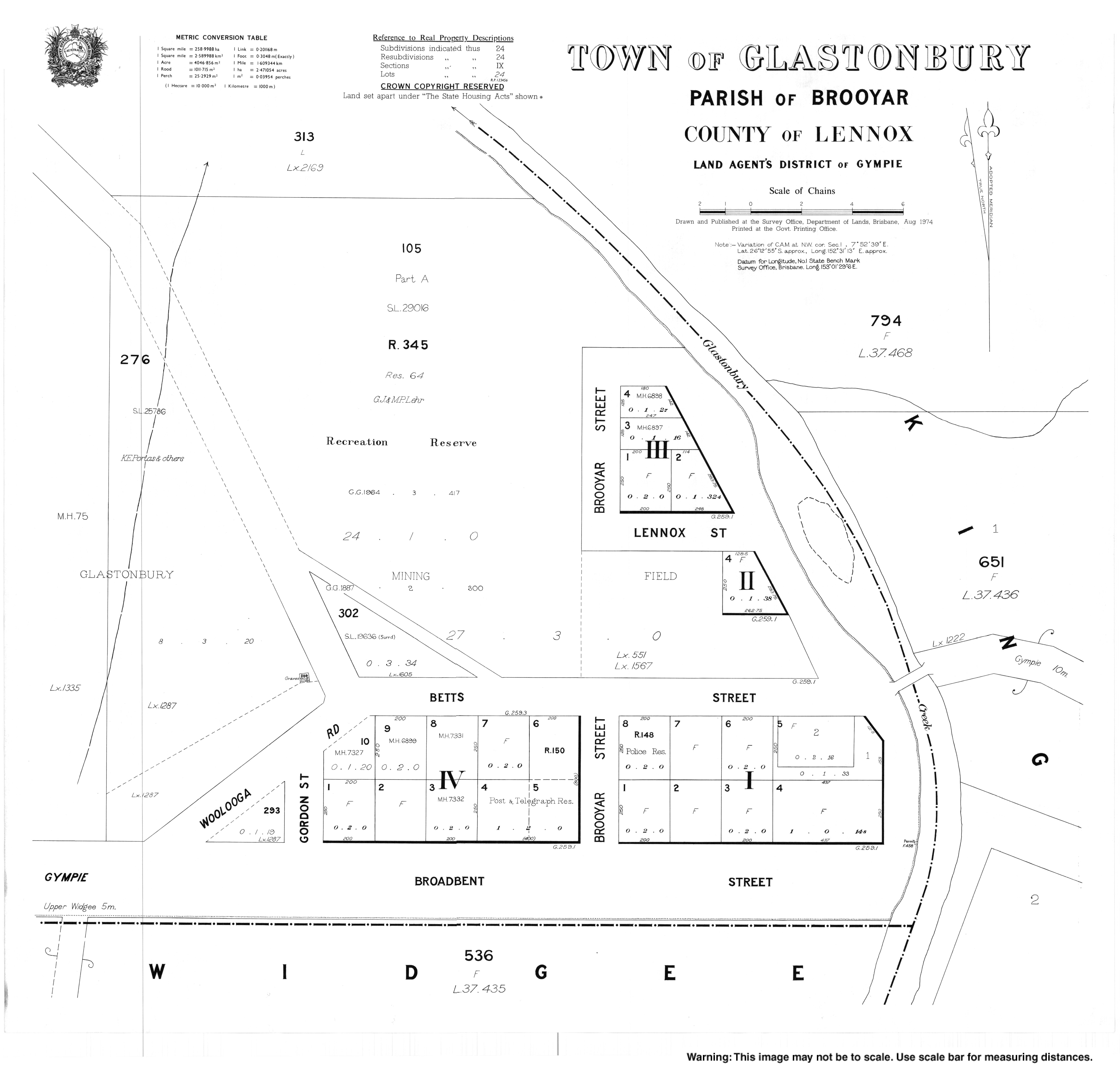
- "Town map of Glastonbury". Queensland Government. 1974.
Текст в блоке "Читать" взят с сайта "Википедия" и доступен по лицензии Creative Commons Attribution-ShareAlike; в отдельных случаях могут действовать дополнительные условия.
Другой контент может иметь иную лицензию. Перед использованием материалов сайта WikiSort.org внимательно изучите правила лицензирования конкретных элементов наполнения сайта.
Другой контент может иметь иную лицензию. Перед использованием материалов сайта WikiSort.org внимательно изучите правила лицензирования конкретных элементов наполнения сайта.
2019-2025
WikiSort.org - проект по пересортировке и дополнению контента Википедии
WikiSort.org - проект по пересортировке и дополнению контента Википедии