world.wikisort.org - Australia
Giralang (/ɡɪrəlæŋ/) is a suburb of the Belconnen district of Canberra, located within the Australian Capital Territory, Australia.
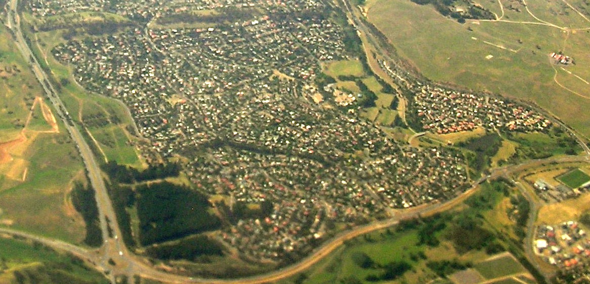
| Giralang Canberra, Australian Capital Territory | |||||||||||||||
|---|---|---|---|---|---|---|---|---|---|---|---|---|---|---|---|
 Giralang Primary | |||||||||||||||
 Giralang | |||||||||||||||
| Coordinates | 35°12′43″S 149°05′50″E | ||||||||||||||
| Population | 3,372 (SAL 2021)[1] | ||||||||||||||
| Established | 1974 | ||||||||||||||
| Postcode(s) | 2617 | ||||||||||||||
| Elevation | 599 m (1,965 ft) | ||||||||||||||
| Area | 2.4 km2 (0.9 sq mi) | ||||||||||||||
| Location |
| ||||||||||||||
| District | Belconnen | ||||||||||||||
| Territory electorate(s) | Yerrabi | ||||||||||||||
| Federal division(s) | Canberra | ||||||||||||||
| |||||||||||||||
The suburb is named after the word in the language of the Wiradhuri Aboriginal tribe of the Central West of New South Wales, meaning star. The suburb name was gazetted on 15 January 1974. Streets in Giralang are named after Aboriginal words for stars, astronomers and constellations seen from the southern hemisphere.[2]
In the suburb is the Giralang District Playing fields and adjacent Giralang Primary School. The suburb is bordered by Baldwin Drive, William Slim Drive and the Barton Highway.
Educational facilities
Giralang Primary School was under threat to close in 2006. After completion of the school closure process it was decided that Giralang Primary School will remain open.
In 2011, a Jewish mikvah opened in Giralang. An early childhood education and care facility for Jewish children opened in 2013 in the refurbished former Giralang Preschool building.
Geology
Ordovician age Pittman Formation greywacke and turbidites are found in the far east and northwest including a band of Acton Shale occurring right on the eastern border of the suburb. Next in the center, south and north west of Giralang there are late Silurian sedimentary rocks. From the east to west there are, mudstone, State Circle Shale, and then micaceous Black Mountain Sandstone that contains lenses of shale. In the south west of Giralang is calcareous shale from the Canberra Formation. A long fault heading north west roughly parallel to Ginninderra Creek is marked on the surface by an iron oxide reef. In the south of Giralang this fault separates the Canberra formation from State Circle Shale uplifted on the east side.[3]
References
- Australian Bureau of Statistics (28 June 2022). "Giralang (Suburb and Locality)". Australian Census 2021 QuickStats. Retrieved 28 June 2022.
- "Suburb Name search results". ACT Environment and Sustainable Development. Archived from the original on 21 February 2014. Retrieved 11 January 2013.
- Henderson G A M and Matveev G, Geology of Canberra, Queanbeyan and Environs 1:50000 1980.
На других языках
[de] Giralang
Giralang ist Stadtteil des Bezirkes Belconnen der australischen Hauptstadt Canberra mit 3.316 Einwohnern (Stand 2016).[1] Der Stadtteil mit der Postleitzahl 2617 wurde nach der Bezeichnung für Sterne in der Sprache der Wiradjuri-Aborigines benannt. Die Straßen sind nach den Aboriginal-Wörtern für die Sternbilder in der südlichen Hemisphäre benannt.- [en] Giralang, Australian Capital Territory
Другой контент может иметь иную лицензию. Перед использованием материалов сайта WikiSort.org внимательно изучите правила лицензирования конкретных элементов наполнения сайта.
WikiSort.org - проект по пересортировке и дополнению контента Википедии