world.wikisort.org - Australia
Boorhaman is a locality in north east Victoria, Australia. The locality is in the Rural City of Wangaratta, 272 kilometres (169 mi) north east of the state capital, Melbourne. At the 2016 census, Boorhaman had a population of 126.[1] There is a state forest near Boorhaman on the Ovens River plain. [2]
| Boorhaman Victoria | |
|---|---|
 Boorhaman Hotel | |
 Boorhaman | |
| Coordinates | 36°12′S 146°17′E |
| Population | 126 (2016 census)[1] |
| Postcode(s) | 3678 |
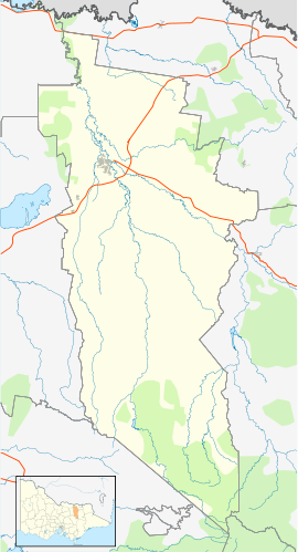
| Location |
|
| LGA(s) | Rural City of Wangaratta |
| State electorate(s) | Wangaratta |
| Federal division(s) | Indi |
References
- Australian Bureau of Statistics (27 June 2017). "Boorhaman". 2016 Census QuickStats. Retrieved 10 July 2017.
- "Boorhaman | Victorian Places". www.victorianplaces.com.au. Retrieved 19 March 2021.
External links
![]() Media related to Boorhaman, Victoria at Wikimedia Commons
Media related to Boorhaman, Victoria at Wikimedia Commons
This article about a location in Hume (region) is a stub. You can help Wikipedia by expanding it. |
Текст в блоке "Читать" взят с сайта "Википедия" и доступен по лицензии Creative Commons Attribution-ShareAlike; в отдельных случаях могут действовать дополнительные условия.
Другой контент может иметь иную лицензию. Перед использованием материалов сайта WikiSort.org внимательно изучите правила лицензирования конкретных элементов наполнения сайта.
Другой контент может иметь иную лицензию. Перед использованием материалов сайта WikiSort.org внимательно изучите правила лицензирования конкретных элементов наполнения сайта.
2019-2026
WikiSort.org - проект по пересортировке и дополнению контента Википедии
WikiSort.org - проект по пересортировке и дополнению контента Википедии