world.wikisort.org - Australia
Ardeer is a suburb in Melbourne, Victoria, Australia, 15 km (9.3 mi) west of Melbourne's Central Business District, located within the City of Brimbank local government area. Ardeer recorded a population of 3,170 at the 2021 census.[1]
| Ardeer Melbourne, Victoria | |||||||||||||||
|---|---|---|---|---|---|---|---|---|---|---|---|---|---|---|---|
 Kororoit Creek | |||||||||||||||
 Ardeer | |||||||||||||||
 | |||||||||||||||
| Coordinates | 37.785°S 144.802°E | ||||||||||||||
| Population | 3,170 (2021 census)[1] | ||||||||||||||
| • Density | 1,510/km2 (3,910/sq mi) | ||||||||||||||
| Postcode(s) | 3022 | ||||||||||||||
| Area | 2.1 km2 (0.8 sq mi) | ||||||||||||||
| Location | 15 km (9 mi) from Melbourne | ||||||||||||||
| LGA(s) | City of Brimbank | ||||||||||||||
| State electorate(s) | St Albans | ||||||||||||||
| Federal division(s) | Fraser | ||||||||||||||
| |||||||||||||||
Ardeer has a railway station on the Melton greater-metropolitan line.
History
Ardeer Post Office opened on 1 December 1953 as suburban development took place and closed in 1979.[2] Ardeer today is a small suburb split into two enclaves by Kororoit Creek. The area south of Forrest Street, previously known as Ardeer, was rezoned in the late 1990s to be incorporated into Sunshine West.
Facilities
Education
Religion
Bao Vuong Temple, a Vietnamese Buddhist temple, is located in the suburb.[3]
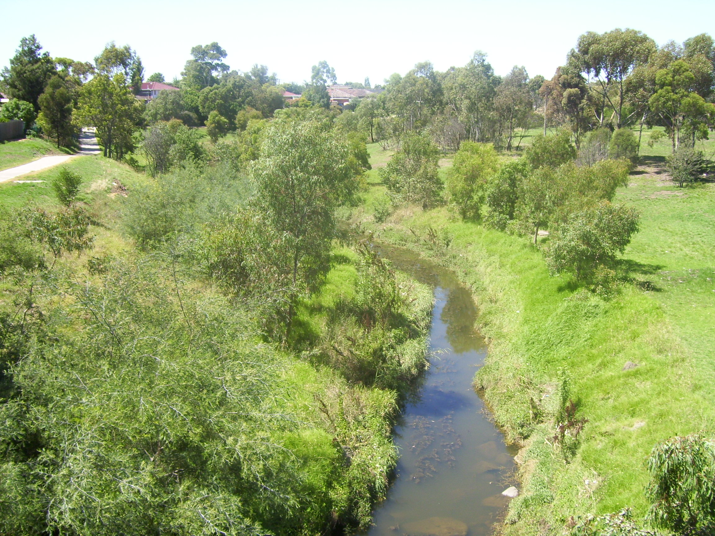
Kororoit Creek
A section of the Kororoit Creek runs along the north and west border of Ardeer. The Kororoit Creek Trail contains wide open park space and native vegetation rarely seen so close to the Melbourne CBD.
In October 2007, John Brumby announced that funding would be provided to link the Kororoit Creek Trail to the Federation Trail, joining two western suburb bike paths.
Notable residents
See also
- City of Sunshine – Ardeer was previously within this former local government area.
References
- Australian Bureau of Statistics (28 June 2022). "Ardeer (Suburbs and Localities)". 2021 Census QuickStats. Retrieved 19 July 2022.
- Phoenix Auctions History, Post Office List, retrieved 6 April 2021
- "THÀNH VIÊN GIÁO HỘI". The Unified Vietnamese Buddhist Congregation of Australia – New Zealand. Retrieved 14 July 2021.
- "Herp Shop".
- "Australian Honours and Awards (Extract)".
- "Australian Honours Lists".
This article about a place in Melbourne is a stub. You can help Wikipedia by expanding it. |
Другой контент может иметь иную лицензию. Перед использованием материалов сайта WikiSort.org внимательно изучите правила лицензирования конкретных элементов наполнения сайта.
WikiSort.org - проект по пересортировке и дополнению контента Википедии