world.wikisort.org - Australia
Abercorn is a rural town and locality in the North Burnett Region, Queensland, Australia.[2][3] In the 2016 census, the locality of Abercorn had a population of 46 people.[1]
| Abercorn Queensland | |||||||||||||||
|---|---|---|---|---|---|---|---|---|---|---|---|---|---|---|---|
 A former shop and a house at Abercorn | |||||||||||||||
 Abercorn | |||||||||||||||
| Coordinates | 25.1330°S 151.1294°E | ||||||||||||||
| Population | 46 (2016 census)[1] | ||||||||||||||
| • Density | 0.488/km2 (1.263/sq mi) | ||||||||||||||
| Postcode(s) | 4627 | ||||||||||||||
| Area | 94.3 km2 (36.4 sq mi) | ||||||||||||||
| Time zone | AEST (UTC+10:00) | ||||||||||||||
| Location |
| ||||||||||||||
| LGA(s) | North Burnett Region | ||||||||||||||
| State electorate(s) | Callide | ||||||||||||||
| Federal division(s) | Flynn | ||||||||||||||
| |||||||||||||||
Geography
The Burnett River forms the eastern boundary of Abercorn. Three Moon Creek passes close to the town and across the locality into the Burnett River. The Burnett Highway passes through the locality but there is no direct access from the highway to the town; to get to Abercorn, the turn-off from the highway is onto Wuruma Dam Road at Cynthia. There is a state forest in the north of the locality extending into Kapaldo.
History
The town takes its name from its railway station, which was named on 19 June 1925 by the Queensland Railway Department, possibly after the champion thoroughbred horse Abercorn.[2]
Abercorn State School opened on 3 May 1927.[4][5]
Langley Flat Provisional School opened on 5 September 1927. In 1929 it became Langley Flat State School. It closed on 28 January 1947.[5]
A post office opened in Abercorn about February 1928; it closed on 11 June 1986.[6]
Goomaran Creek Provisional School opened on 29 April 1931. In 1932 it became Goomaran Creek State School. It closed on 9 May 1948.[5]
Glen Loch State School opened on 27 August 1931 and closed in 1944.[5] It was on the Burnett Highway (approx 25.1484°S 151.1797°E).[7][8]
In the 2016 census, the locality of Abercorn had a population of 46 people.[1]
Education
Abercorn State School is a government primary (P-7) school located at 957 Wuruma Dam Road (25.136508°S 151.127706°E). In 2012, the school had an enrolment of 21 students in a single classroom with 3 teachers (1.5 full-time equivalent). There is no secondary school in Abercorn; the nearest one is in Monto.[9][10]
Attractions
Abercorn is the gateway to Wuruma Dam used for water sports and fishing.[11]
References
- Australian Bureau of Statistics (27 June 2017). "Abercorn (SSC)". 2016 Census QuickStats. Retrieved 20 October 2018.
- "Abercorn – town in North Burnett Region (entry 24)". Queensland Place Names. Queensland Government. Retrieved 15 December 2020.
- "Abercorn – locality in North Burnett Region (entry 45310)". Queensland Place Names. Queensland Government. Retrieved 15 December 2020.
- "Opening and closing dates of Queensland Schools". Queensland Government. Retrieved 29 May 2014.
- Queensland Family History Society (2010), Queensland schools past and present (Version 1.01 ed.), Queensland Family History Society, ISBN 978-1-921171-26-0
- Premier Postal History. "Post Office List". Premier Postal Auctions. Archived from the original on 15 May 2014. Retrieved 29 May 2014.
- "Queensland Two Mile series sheet 2m158" (Map). Queensland Government. 1939. Archived from the original on 14 December 2020. Retrieved 5 December 2021.
- "Queensland Globe". State of Queensland. Retrieved 5 December 2021.
- "Queensland State and Non-State Schools". Queensland Government. Archived from the original on 8 May 2014. Retrieved 29 May 2014.
- "2012 School Annual Report" (PDF). Abercorn State School. Archived (PDF) from the original on 25 February 2014. Retrieved 30 May 2014.
- "Water Sports and Recreation". North Burnett Regional Council. Archived from the original on 7 February 2014. Retrieved 30 May 2014.
Further reading
- McCorley, B; Ries, C (1977), Abercorn District Schools Golden Jubilee Chronicle — covers Abercorn, Cynthia Creek, Goomaram Creek, and Nogo Creek schools
- Mulgildie State School. Jubilee Booklet Committee (1977), The golden jubilee of Mulgildie State School 1927-1977 — includes Glen Loch State School and Langley Flat State School
External links
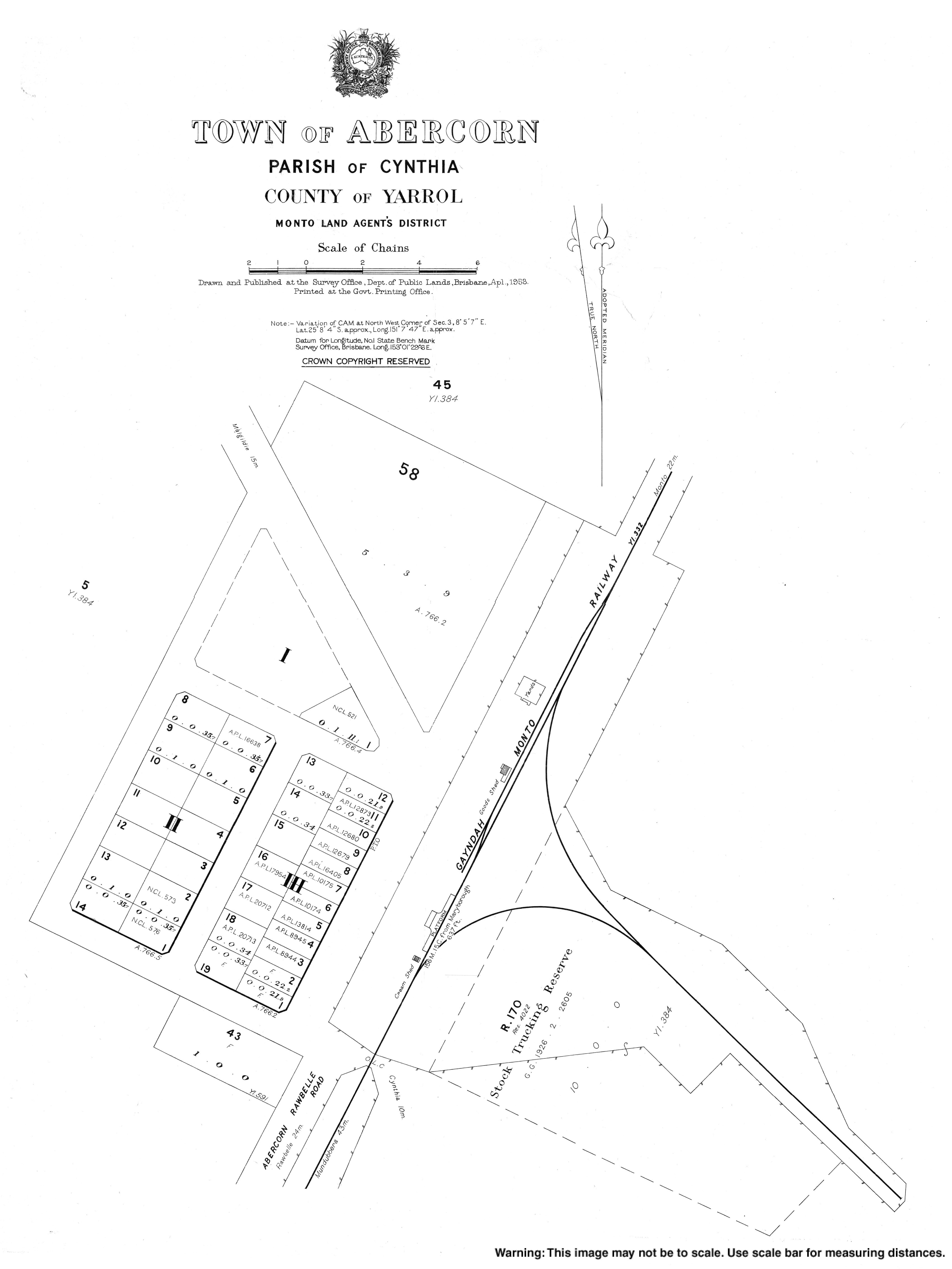
- "Town map of Abercorn". Queensland Government. 1958.
Другой контент может иметь иную лицензию. Перед использованием материалов сайта WikiSort.org внимательно изучите правила лицензирования конкретных элементов наполнения сайта.
WikiSort.org - проект по пересортировке и дополнению контента Википедии