world.wikisort.org - Afghanistan
Hamāyūn[1] (Homāyūn,[2] Khamayun,[3] همایون,[4]) is a village in Kapisa Province of Afghanistan. Hamayun lies on the eastern slope of Mt. Nēshar.[5]
Hamayun
همایون Khamayun, Homayun | |
|---|---|
 Hamayun Location in Afghanistan | |
| Coordinates: 35°05′35″N 69°33′11″E | |
| Country | |
| Province | Kapisa |
| District | Mahmud Raqi |
| Time zone | UTC+4:30 |
Notes
- Hamāyūn (Approved) at GEOnet Names Server, United States National Geospatial-Intelligence Agency
- Homāyūn (Variant) at GEOnet Names Server, United States National Geospatial-Intelligence Agency
- Khamayun (Variant) at GEOnet Names Server, United States National Geospatial-Intelligence Agency
- همایون (Native Script) at GEOnet Names Server, United States National Geospatial-Intelligence Agency
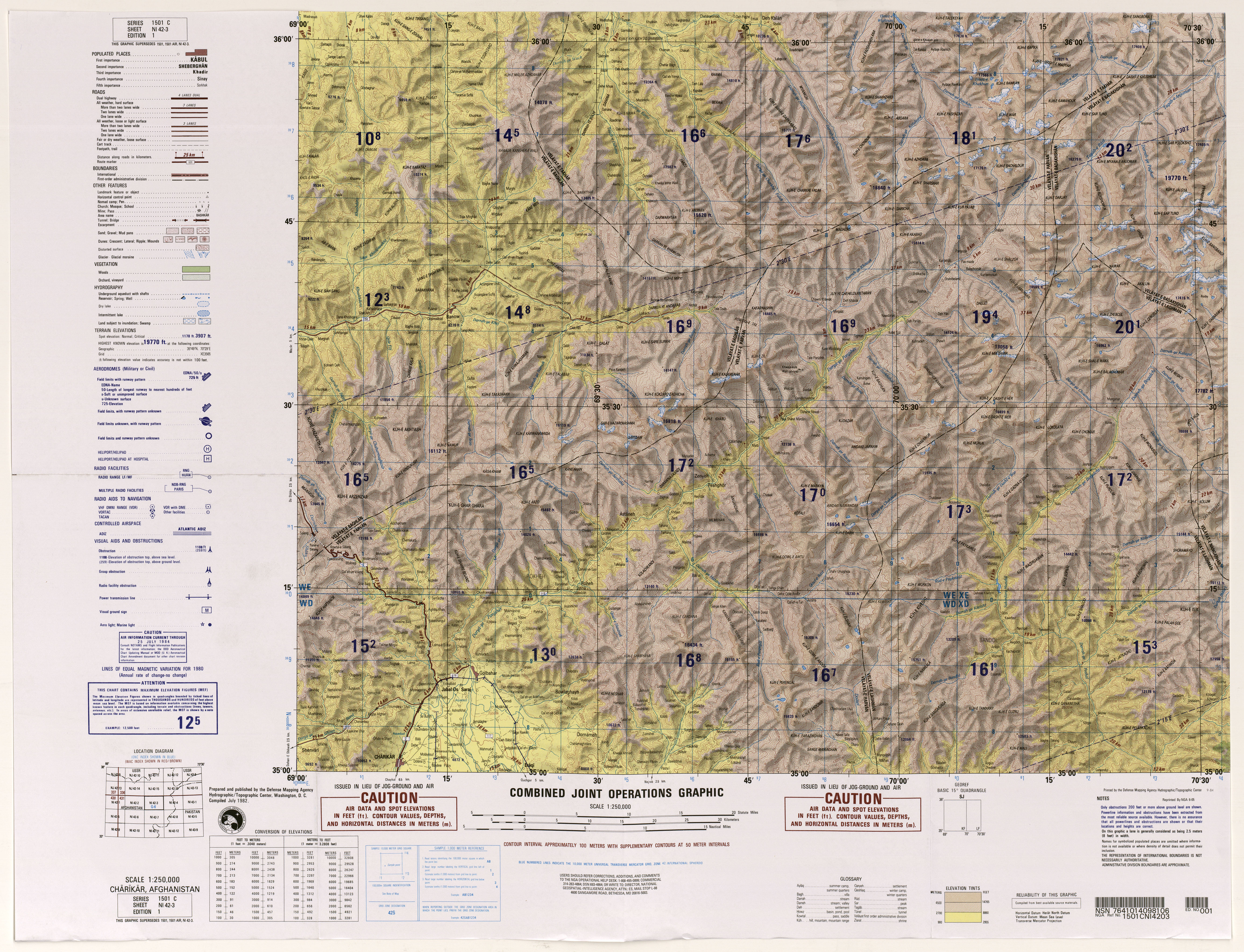
- Hydrographic/Topographic Center, Defense Mapping Agency (1982), 1:250,000 Topographic Map, NI 42-3, Charikar, Afghanistan, Series 1501C, United States National Geospatial-Intelligence Agency
Kapisa Province | ||
|---|---|---|
Capital: Mahmud-i-Raqi | ||
| Districts |
|  |
| Populated places |
| |
| Landforms | ||
| Other |
| |
This Kapisa Province, Afghanistan location article is a stub. You can help Wikipedia by expanding it. |
Текст в блоке "Читать" взят с сайта "Википедия" и доступен по лицензии Creative Commons Attribution-ShareAlike; в отдельных случаях могут действовать дополнительные условия.
Другой контент может иметь иную лицензию. Перед использованием материалов сайта WikiSort.org внимательно изучите правила лицензирования конкретных элементов наполнения сайта.
Другой контент может иметь иную лицензию. Перед использованием материалов сайта WikiSort.org внимательно изучите правила лицензирования конкретных элементов наполнения сайта.
2019-2025
WikiSort.org - проект по пересортировке и дополнению контента Википедии
WikiSort.org - проект по пересортировке и дополнению контента Википедии