world.wikisort.org - Regno_Unito
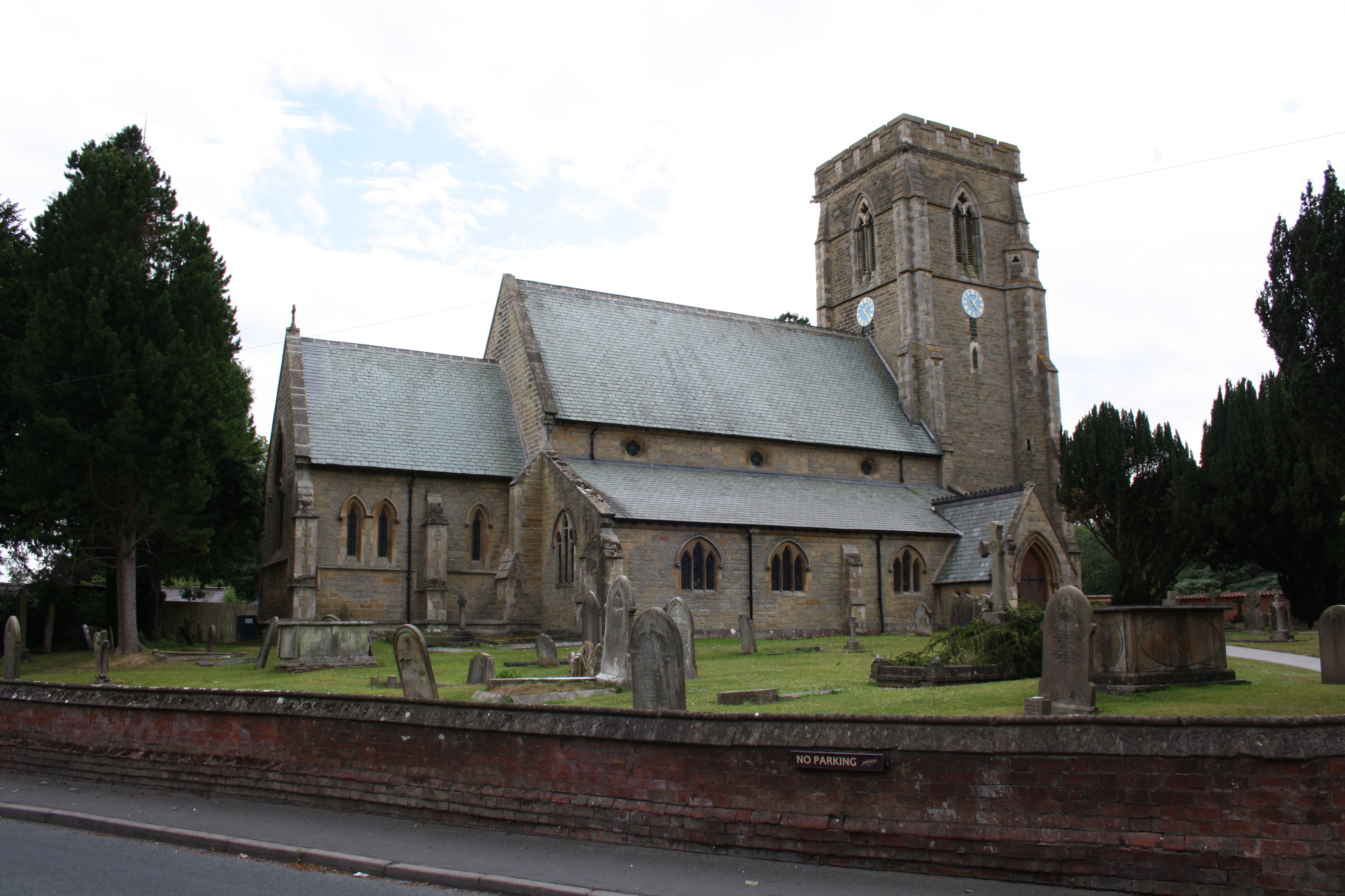
Cherry Burton è un villaggio e parrocchia civile dell'Inghilterra, appartenente alla contea di East Riding of Yorkshire.
| Cherry Burton parrocchia civile | |
|---|---|
 | |
| Localizzazione | |
| Stato | |
| Regione | Yorkshire e Humber |
| Contea | |
| Distretto | East Riding of Yorkshire |
| Territorio | |
| Coordinate | 53°51′53.74″N 0°29′47.93″W |
| Abitanti | 1 392 (2011) |
| Altre informazioni | |
| Cod. postale | HU17 |
| Prefisso | 01964 |
| Fuso orario | UTC+0 |
| Cartografia | |
 Cherry Burton | |
Altri progetti
 Wikimedia Commons contiene immagini o altri file su Cherry Burton
Collegamenti esterni
- (EN) Sito web dell'East Riding of Yorkshire, su eastriding.gov.uk.
| Controllo di autorità | VIAF (EN) 305030780 · LCCN (EN) nb2013015662 · WorldCat Identities (EN) lccn-nb2013015662 |
|---|
На других языках
[en] Cherry Burton
Cherry Burton is a village and civil parish in the East Riding of Yorkshire, England. It is approximately 3 miles (5 km) north-west of the market town of Beverley,[2] 9 miles (14 km) east of Market Weighton and 11 miles (18 km) south west of Driffield.[3] The village lies on the eastern edge of the Yorkshire Wolds and lies to the west of the B1248 road.[4]- [it] Cherry Burton
Текст в блоке "Читать" взят с сайта "Википедия" и доступен по лицензии Creative Commons Attribution-ShareAlike; в отдельных случаях могут действовать дополнительные условия.
Другой контент может иметь иную лицензию. Перед использованием материалов сайта WikiSort.org внимательно изучите правила лицензирования конкретных элементов наполнения сайта.
Другой контент может иметь иную лицензию. Перед использованием материалов сайта WikiSort.org внимательно изучите правила лицензирования конкретных элементов наполнения сайта.
2019-2025
WikiSort.org - проект по пересортировке и дополнению контента Википедии
WikiSort.org - проект по пересортировке и дополнению контента Википедии