world.wikisort.org - United_Kingdom
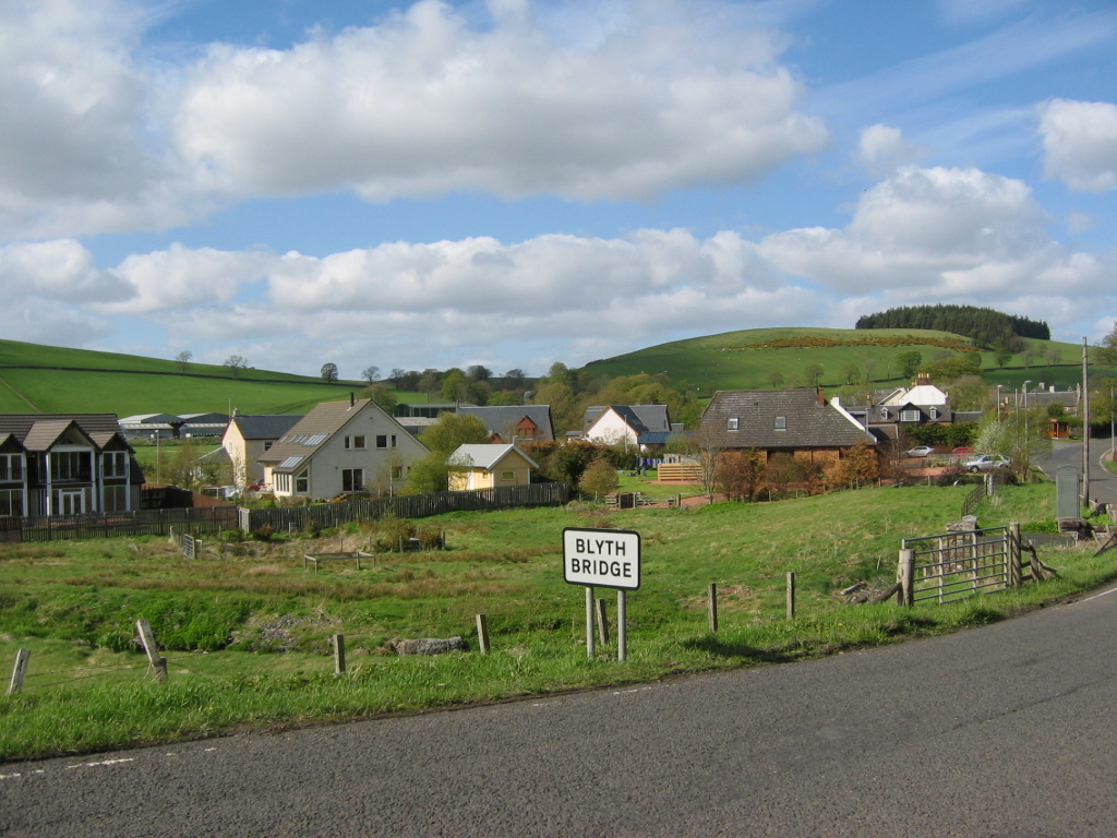
Blyth Bridge is a small hamlet in the Scottish Borders area of Scotland, near to West Linton.
| Blyth Bridge | |
|---|---|
 Blyth Bridge Location within the Scottish Borders | |
| Population | 107 |
| OS grid reference | NT136455 |
| Council area | |
| Lieutenancy area |
|
| Country | Scotland |
| Sovereign state | United Kingdom |
| Post town | WEST LINTON |
| Postcode district | EH46 |
| Dialling code | 01721 |
| Police | Scotland |
| Fire | Scottish |
| Ambulance | Scottish |
| UK Parliament |
|
| Scottish Parliament |
|
It is located in a bend on the A701 which goes from Moffat to Edinburgh, close to the junction with the East-West road the A72 which goes to Peebles.
Places nearby include the Lyne Water, Carlops, Romannobridge, and the Deepsyke Forest.
There is an aqueduct carrying a large water main which supplies Edinburgh and passes over Tarth Water.
There are a number of iron age forts on the hills nearby, and the historic Drochil Castle is a short distance away.
See also
- List of places in the Scottish Borders
- List of places in Scotland
References
External links
Wikimedia Commons has media related to Blyth Bridge, Scottish Borders.
- RCAHMS: Blyth Bridge, Blyth Mill
- PDF document from Scottish Borders Council
- Gazetteer for Scotland: Blyth Bridge
- Blythbank Action Group[permanent dead link]
- Newlands Community Development Trust
This Scottish Borders location article is a stub. You can help Wikipedia by expanding it. |
Текст в блоке "Читать" взят с сайта "Википедия" и доступен по лицензии Creative Commons Attribution-ShareAlike; в отдельных случаях могут действовать дополнительные условия.
Другой контент может иметь иную лицензию. Перед использованием материалов сайта WikiSort.org внимательно изучите правила лицензирования конкретных элементов наполнения сайта.
Другой контент может иметь иную лицензию. Перед использованием материалов сайта WikiSort.org внимательно изучите правила лицензирования конкретных элементов наполнения сайта.
2019-2025
WikiSort.org - проект по пересортировке и дополнению контента Википедии
WikiSort.org - проект по пересортировке и дополнению контента Википедии