world.wikisort.org - United_Kingdom
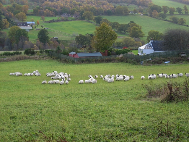
Ardendrain (Scottish Gaelic: Àirde an Droigheann, meaning "Height of the Blackthorn[1]) is a scattered hamlet in the Highland council area of Scotland.[2] It is 2.5 miles (4 km) south of the village of Kiltarlity, and 11 miles (18 km) west of Inverness.
Ardendrain
| |
|---|---|
 Ardendrain Location within the Inverness area | |
| OS grid reference | NH510381 |
| Council area |
|
| Country | Scotland |
| Sovereign state | United Kingdom |
| Police | Scotland |
| Fire | Scottish |
| Ambulance | Scottish |
| UK Parliament |
|
| Scottish Parliament |
|
The hamlet is spread over the grassy fields of Glen Convinth, with both the A833 and Belladrum Burn running directly through it. Kiltarlity Lodges, a group of four-star, self-catering cabins, is located within the hamlet.[3]
References
- Beauly, The Aird and Strathglass Place-Name Survey (North-East Inverness-shire)
- Microsoft; Nokia (7 March 2017). "Ardendrain" (Map). Bing Maps. Microsoft. Retrieved 7 March 2017.
- "KILTARLITY LODGES - Updated 2020 Prices & Lodge Reviews (Scotland)". Tripadvisor. Retrieved 29 July 2020.
This Highland location article is a stub. You can help Wikipedia by expanding it. |
Текст в блоке "Читать" взят с сайта "Википедия" и доступен по лицензии Creative Commons Attribution-ShareAlike; в отдельных случаях могут действовать дополнительные условия.
Другой контент может иметь иную лицензию. Перед использованием материалов сайта WikiSort.org внимательно изучите правила лицензирования конкретных элементов наполнения сайта.
Другой контент может иметь иную лицензию. Перед использованием материалов сайта WikiSort.org внимательно изучите правила лицензирования конкретных элементов наполнения сайта.
2019-2025
WikiSort.org - проект по пересортировке и дополнению контента Википедии
WikiSort.org - проект по пересортировке и дополнению контента Википедии