world.wikisort.org - Canada
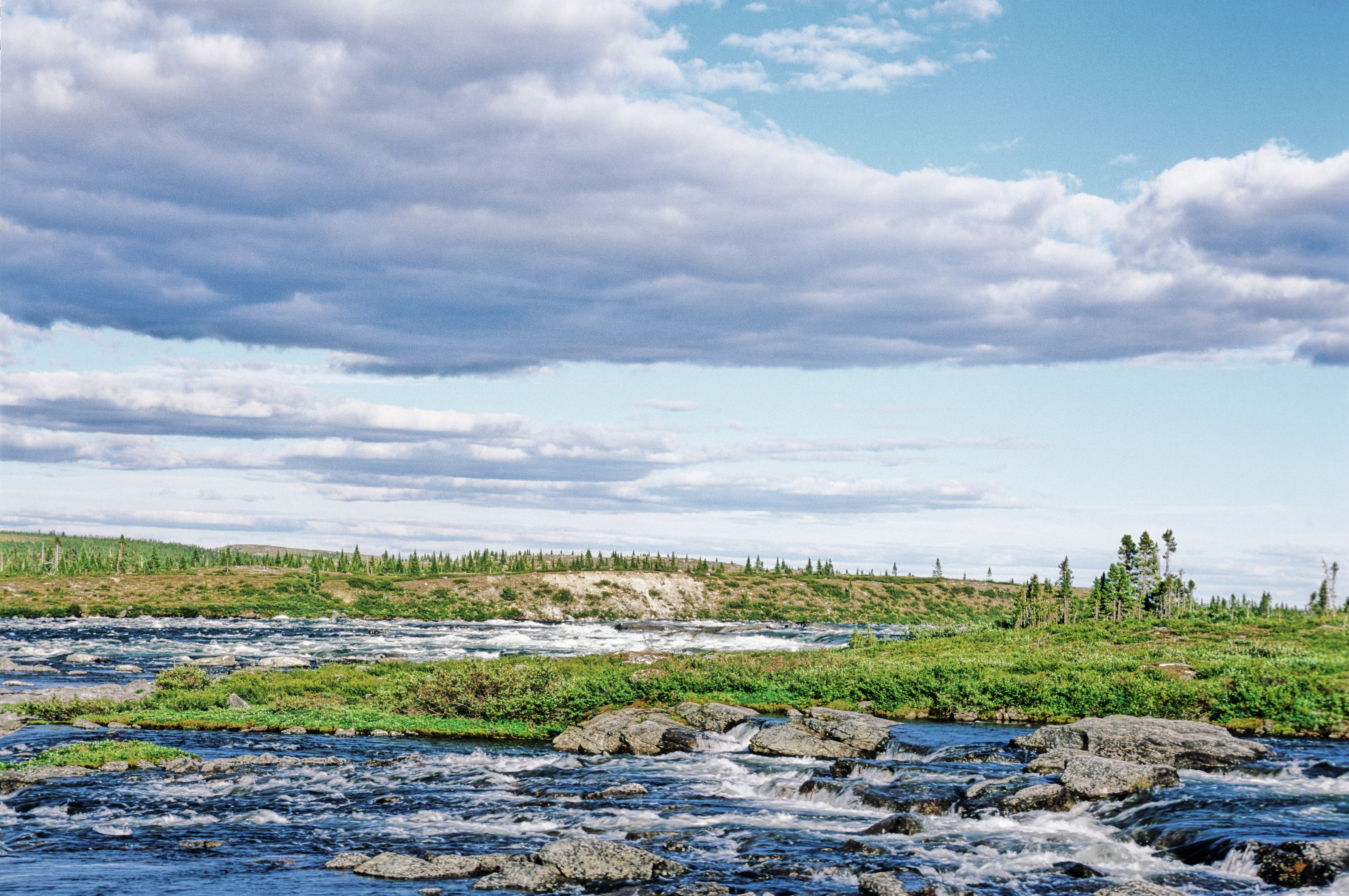
Baie-d'Hudson is a very large unorganized territory in the Kativik Regional Government territory in the Nord-du-Québec region of Quebec. It is named after Hudson Bay.
Baie-d'Hudson | |
|---|---|
Unorganized territory | |
 Baie-d'Hudson | |
| Coordinates: 58°30′N 75°00′W[1] | |
| Country | |
| Province | |
| Region | Nord-du-Québec |
| TE | Kativik |
| Constituted | unspecified |
| Government | |
| • Federal riding | Abitibi—Baie-James—Nunavik—Eeyou |
| • Prov. riding | Ungava |
| Area | |
| • Total | 156,370.40 km2 (60,374.95 sq mi) |
| • Land | 120,831.34 km2 (46,653.24 sq mi) |
| Population (2021)[3] | |
| • Total | 5 |
| • Density | 0.0/km2 (0/sq mi) |
| • Change (2016–21) | |
| • Dwellings | 3 |
| Time zone | UTC−5 (EST) |
| • Summer (DST) | UTC−4 (EDT) |
It consists of nearly the entire western part of northernmost Quebec. Bordering it to the east is the other large unorganized territory in Kativik, Rivière-Koksoak.
Its population in the Canada 2021 Census was 5; enclaved within it, however, are various northern villages (i.e., Inuit communities), a Cree reserved land, and a Cree village municipality. In the 2011 census it had a population of 0.
![]()
References
- "Reference number 149779 in Banque de noms de lieux du Québec". toponymie.gouv.qc.ca (in French). Commission de toponymie du Québec.
- "Geographic code 99904 in the official Répertoire des municipalités". www.mamh.gouv.qc.ca (in French). Ministère des Affaires municipales et de l'Habitation.
- "Census Profile, 2021 Census, Statistics Canada - Validation Error".
Текст в блоке "Читать" взят с сайта "Википедия" и доступен по лицензии Creative Commons Attribution-ShareAlike; в отдельных случаях могут действовать дополнительные условия.
Другой контент может иметь иную лицензию. Перед использованием материалов сайта WikiSort.org внимательно изучите правила лицензирования конкретных элементов наполнения сайта.
Другой контент может иметь иную лицензию. Перед использованием материалов сайта WikiSort.org внимательно изучите правила лицензирования конкретных элементов наполнения сайта.
2019-2025
WikiSort.org - проект по пересортировке и дополнению контента Википедии
WikiSort.org - проект по пересортировке и дополнению контента Википедии