world.wikisort.org - Bosnie_Herzégovine
Radohova (en serbe cyrillique : Радохова) est un village de Bosnie-Herzégovine. Il est situé dans la municipalité de Kotor Varoš et dans la République serbe de Bosnie. Selon les premiers résultats du recensement bosnien de 2013, il compte 267 habitants[1].
| Radohova Радохова | |||
| Administration | |||
|---|---|---|---|
| Pays | |||
| Entité | |||
| Municipalité | Kotor Varoš | ||
| Démographie | |||
| Population | 267 hab. (2013) | ||
| Géographie | |||
| Coordonnées | 44° 28′ 06″ nord, 17° 31′ 55″ est | ||
| Altitude | 681 m |
||
| Localisation | |||
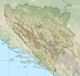
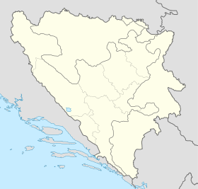
| Géolocalisation sur la carte : Bosnie-Herzégovine
Géolocalisation sur la carte : Bosnie-Herzégovine
| |||
| modifier |
|||
Géographie
Cette section est vide, insuffisamment détaillée ou incomplète. Votre aide est la bienvenue ! Comment faire ?
Histoire
Cette section est vide, insuffisamment détaillée ou incomplète. Votre aide est la bienvenue ! Comment faire ?
Démographie
Évolution historique de la population dans la localité
 |
Répartition de la population par nationalités (1991)
| Nationalité | Nombre | % |
| Musulmans | 644 | 92,00 |
| Serbes | 49 | 7,00 |
| Yougoslaves | 4 | 0,57 |
| Inconnus/autres | 3 | 0,43[2] |
Notes et références
- (sr + en) « Census of population - Preliminary results » [PDF], sur http://www2.rzs.rs.ba, Institut de statistiques de la République serbe de Bosnie (consulté le )
- (bs + hr + sr) « Composition nationale de la population - Résultats de la République par municipalités et localités », Bulletin statistique, Sarajevo, Publication de l'Institut national de statistique de Bosnie-Herzégovine, no 234, .
- (sr) « Population 1991 », sur http://pop-stat.mashke.org (consulté le )
Voir aussi
Articles connexes
- Villes de Bosnie-Herzégovine
- Municipalités de Bosnie-Herzégovine
Liens externes
- (en) Vue satellite de Radohova sur fallingrain.com
 Portail de la Bosnie-Herzégovine
На других языках
[en] Radohova
Radohova (Serbian Cyrillic: Радохова) is a settlement in the Kotor Varoš Municipality, Republika Srpska entity, Bosnia and Herzegovina. The settlement includes the hamlets of Ulice, Letići, Lapići, Traljići, Kerkezi, Gigovići, Demići, and Dunići, located on the slopes of Zastijenje, and extend from the Ulički stream to the source of Demićka (left tributary of the Vrbanja river) and the Djevojačka Ravan ("Girls' plain"). Its length is ca. 6 km.- [fr] Radohova
Текст в блоке "Читать" взят с сайта "Википедия" и доступен по лицензии Creative Commons Attribution-ShareAlike; в отдельных случаях могут действовать дополнительные условия.
Другой контент может иметь иную лицензию. Перед использованием материалов сайта WikiSort.org внимательно изучите правила лицензирования конкретных элементов наполнения сайта.
Другой контент может иметь иную лицензию. Перед использованием материалов сайта WikiSort.org внимательно изучите правила лицензирования конкретных элементов наполнения сайта.
2019-2025
WikiSort.org - проект по пересортировке и дополнению контента Википедии
WikiSort.org - проект по пересортировке и дополнению контента Википедии